PLEASE NOTE: This section is still under development. Rather than wait until we have the entire subregion mapped, we are posting routes as we complete them.
Room to Roam
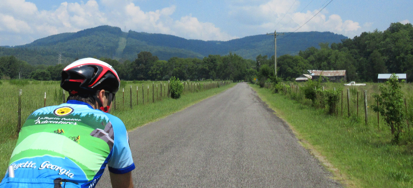
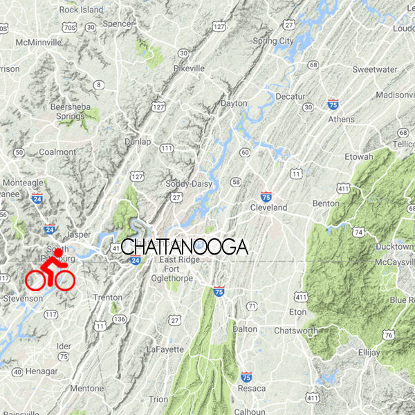
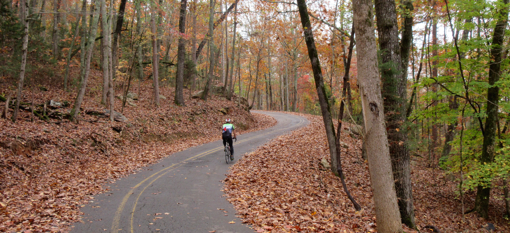
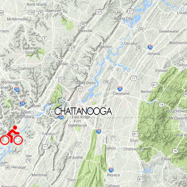
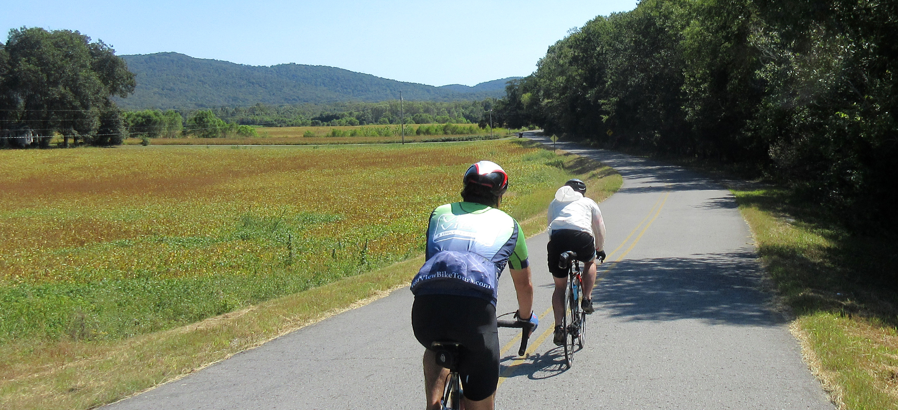
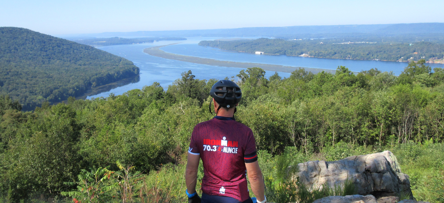
Northeast Alabama is ideal for cycling adventures both long and short, with miles and miles of wide-open low-traffic farm roads interspersed with scenic views of the Tennessee River and its tributaries and coves. Adding to the picturesque charm of the rural countryside are towering ridges that provide a dramatic backdrop to the farmland as well as a serious challenge for those brave enough to pedal to the top! With deep history (some of which dates back 10,000 years) and charming towns, the Alabama Mountain Lakes region is an intriguing and inviting landscape for exploring by bike!
Points of Interest
Each of the Scenic Bikeway routes below have been carefully mapped to maximize your time on the bike, giving you the best scenery, the most enjoyable roads, and the most interesting landmarks. To that end, each map highlights "points of interest" along the way - restaurants, rest stops, historic landmarks, etc.
Route Modifications
We've also noted how each route can be modified to make them shorter or longer. While the routes have recommended loops and turnaround points, there are plenty of ways to customize each route to whatever works best for you
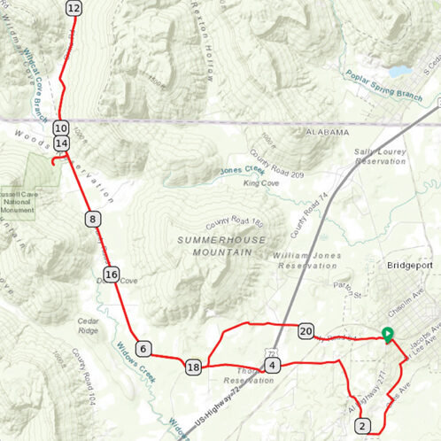
Russell Cave Out & Back
14 miles / 600 feet of climbing
Travel back in time 10,000 years on this short ride out of Bridgeport, featuring beautiful farm country and a national monument!
START/FINISH: Bridgeport, AL
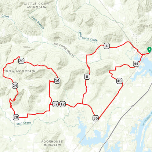
Stevenson Challenge
46 miles / 2200 feet of climbing
Whether it's one loop or two, you'll enjoy a beautiful challenge on low traffic farm roads and tree-covered climbs!
START/FINISH: Stevenson, AL
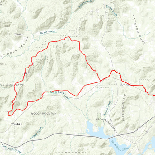
Scottsboro Challenge
41 miles / 2200 feet of climbing
Challenge yourself on a brutal 1,000-foot climb or simply enjoy an easy ride past scenic farm country. Either way, this route delivers a great experience straight out of downtown Scottsboro!
START/FINISH: Scottsboro, AL
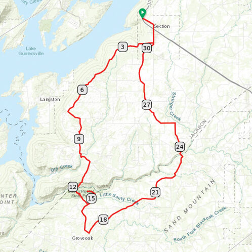
Section-Bucks Pocket Loop
32 miles / 1800 feet of climbing
Big views and a big dip make this ride a ton of fun, from the bluffs overlooking the Tennessee River to the descent down into Buck's Pocket to the climb to the very top of the state park!
START/FINISH: Section, AL
Rules of the Road
- Always wear a helmet.
- Avoid using earbuds while riding, as awareness of your surroundings at all times is crucial to your safety as well as the safety of those around you.
- Keep an eye out for vehicles while riding and be considerate to vehicles trying to pass.
- Obey all traffic laws, which means stopping at all stop signs and traffic lights.
- Ride no more than two abreast.
- Ride on the shoulder or in a bike lane whenever possible.
- If you need to stop while riding, please get completely off the road.
- When crossing train tracks, try to have your wheels perpendicular to the tracks and don't turn your handlebar when riding across. Hold your line until you're on the other side. Never ride parallel with the tracks when crossing, as bike tires are easily caught in the gaps next to the rails.
- Control your speed on fast descents by feathering your brakes, and always brake before entering sharp turns (as opposed to a sudden hard squeeze in the middle of a turn).
- Communicate with other cyclists when riding as a group. When turning, signal with your hand and tell everyone which direction you're turning. Announce when you're slowing down or coming to a stop. Call out hazards in the road.
- Be predictable. Ride in a straight line without zig-zagging, and ride at a consistent speed without sudden accelerations or decreases in speed.
