21 Miles / 700 Feet of Climbing
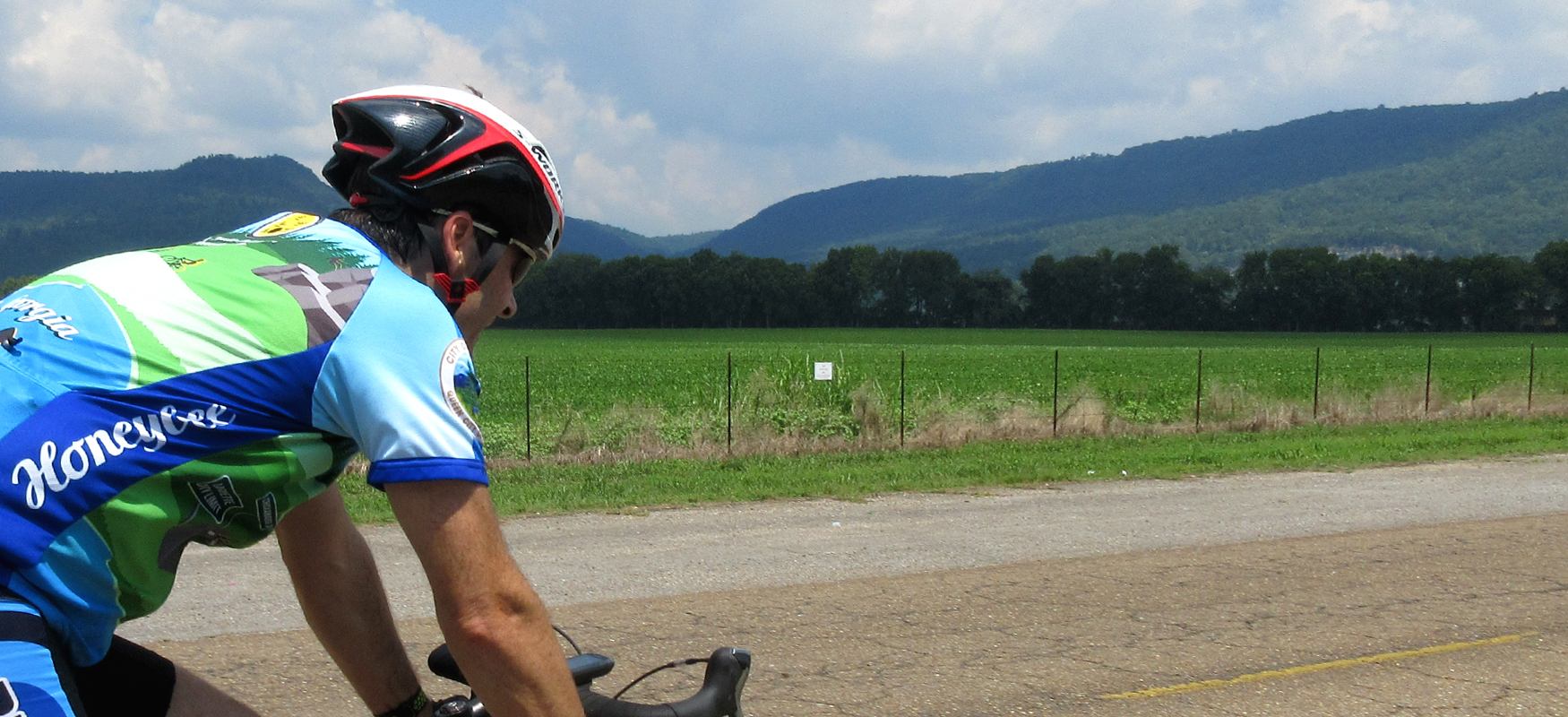
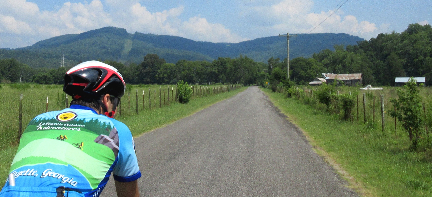
Travel back 10,000 years on this short ride out of Bridgeport, featuring beautiful farm country and a national monument!
Potential Route Modifications: This route can be shortened to 16.5 miles by heading back to Bridgeport after seeing Russell Cave rather than continuing on to Orme. This also reduces the climbing by 200 feet.
We recommend starting at Charlie B's Restaurant at the corner of Hwy 277 and Alabama Ave which sets you up for a great meal after the ride. There's also a gas station and grocery store on the other side of Hwy 277 that could also works as starting points.
Wherever you end up starting, head out on Alabama Avenue, which quickly bends to the right and has a short but noticeable dip and climb that will help wake up the legs! After the climb, you'll come to a stop sign at Dr. Lee Avenue. After turning right on Dr. Lee, you'll roll downhill pretty fast. Watch your speed though as you'll soon come to a stop sign at the intersection of Dr. Lee and Hall Drive.
Take a left onto Hall Drive and you'll go through some rollers in a nice neighborhood before bending hard to the left and coming to another stop sign. Turn right at the stop sign onto Giles Avenue and you'll notice that the neighborhood feels a little more rural than the previous stretch of houses. After half a mile, the road will bend to the right and then bend to the right again, as the road changes names to County Road 255.
Once on CR 255 you'll head uphill until you reach Hwy 277. Carefully cross Hwy 277 and continue on CR 255 until it rolls down to a "T" intersection with CR 75 less than a half mile later. Turn left on CR 75 and follow it all the way to Hwy 72. (Be careful as you go under the train tracks, as the road narrows to one lane at that point.) Hwy 72 will look daunting with its four lanes of fast-moving traffic, but it does have a median which you can use to safely cross.
Once on the other side of Hwy 72, you'll continue on CR 75 another mile before turning right onto CR 98. Most of this mile is scenic farmland, but after a while you'll notice more houses and a cemetery and church on the right. That's your cue to start looking for CR 98. Once you turn onto CR 98, it's a straight shot all the way to Russell Cave National Monument, about 3.5 miles down the road through open farmland.
The entrance to the Monument is obvious with good signage, but be cautious as you pull into the driveway as there may be loose gravel at the intersection. The driveway is relatively short and takes you straight to the visitors center. This is an excellent facility with lots of information about the cave and how the indigenous people of the area lived thousands of years ago. You'll also find clean restrooms and a cold water fountain in the visitors center. Check the Russell Cave website for current hours of operation.
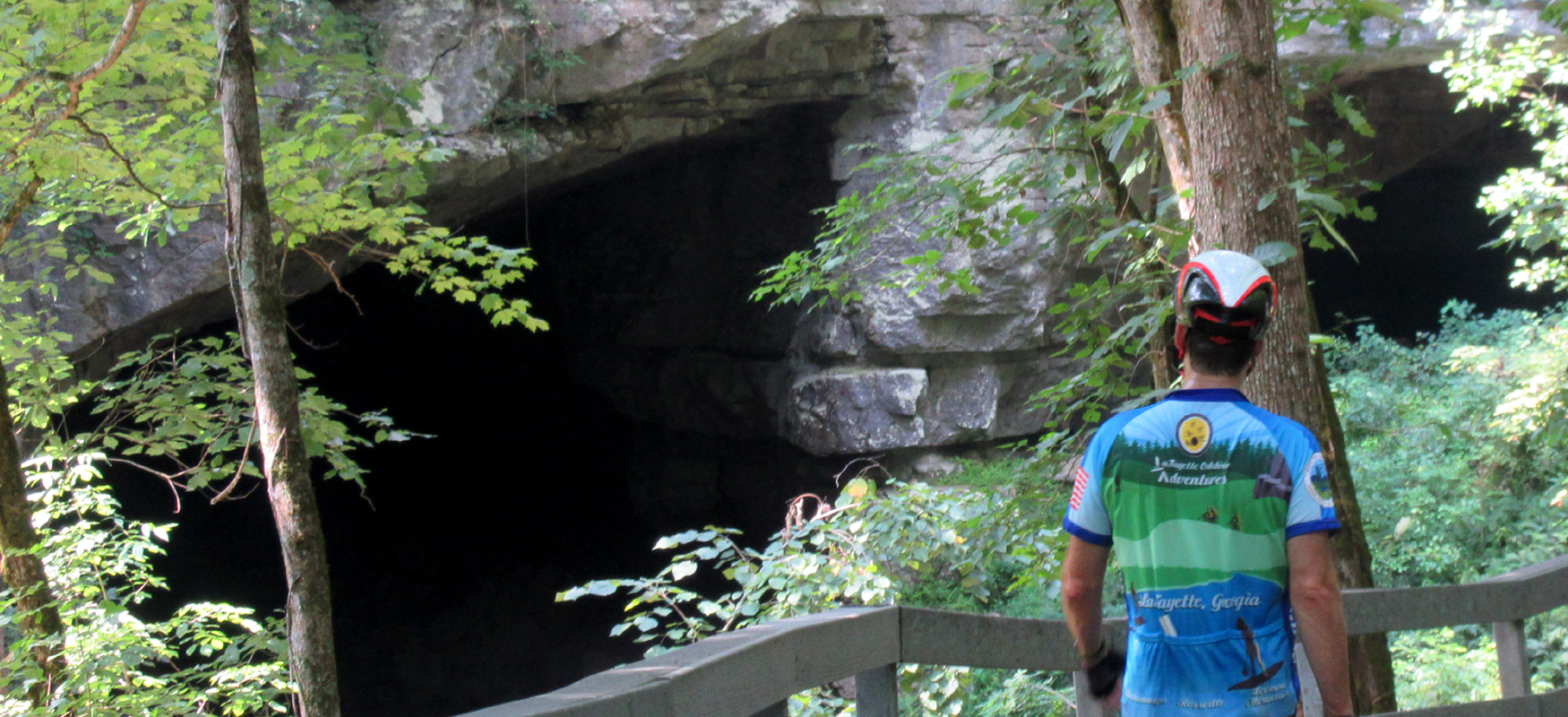
After checking out the visitors center, take the short stroll along a boardwalk from the back door to the cave. (It's flat enough and short enough for bicycle shoes.) The boardwalk ends at the cave entrance and has a number of interpretive panels explaining how the cave was used by different populations throughout history. Archeological finds in the cave represent 10,000 years of human use in a single place! The setting is beautiful and the cave is well worth the stop.
When you've had your fill of ancient history, continue on CR 98 another couple of miles to the little community of Orme. The road quality will be noticeably less polished after leaving Russell Cave, but the scenery will be even more impressive.
The road turns into gravel and turns sharply uphill when you get to Orme, which is your cue to turn around and head back the way you came. However, before leaving Orme, check out the unaltered 1902 railroad depot by the side of the road (it has a sign reading "Orme" on the side of it). It's a classic example of the "railroad style" of architecture and a reminder of Orme's past as a significant coal mining community.
After following CR 98 back to its intersection with CR 75, turn left and then turn left again onto CR 74 just past the cemetery. About a mile later turn right onto CR 94. Unfortunately both CR 74 and CR 94 have some rough pavement, so expect some bumps, especially after turning onto CR 94 and heading down the first little hill.
A half-mile after turning onto CR 94, you'll be back at Hwy 72. After carefully crossing the highway, continue on CR 94 another mile and a half (on noticeably better pavement) through farmland and over the railway until you return to civilization in Bridgeport. Turn left onto Lewis Payne Drive when CR 94 ends at a stop sign, and then turn right shortly thereafter onto Hwy 277. Immediately look to your left after turning onto Hwy 277 and you'll seer Charlie B's Restaurant where a great post-ride meal will be waiting for you!