32 Miles / 1800 Feet of Climbing
Big views and a big dip make this ride a ton of fun, from the bluffs overlooking the Tennessee River to the descent down into Buck's Pocket to the climb to the very top of the state park!
Potential Route Modifications: The route can be shortened to a 14-mile loop with 500 feet of climbing by turning left onto County Route 66 at mile 6 and following it over to Country Road 37 where you can pick up the route back to Section. This modification avoids the steep descent and climb through Buck's Pocket.
The route starts at Weathington Park, which has plenty of parking, new bathrooms, and a stunning view overlooking the Tennessee River. Take a minute to walk over to the edge of the bluff to get a few pictures before starting the ride. After soaking up the view, you'll carefully cross Hwy 35 to get to Section Ferry Road, which will give you a nice warm-up on a half-mile easy-grade climb.
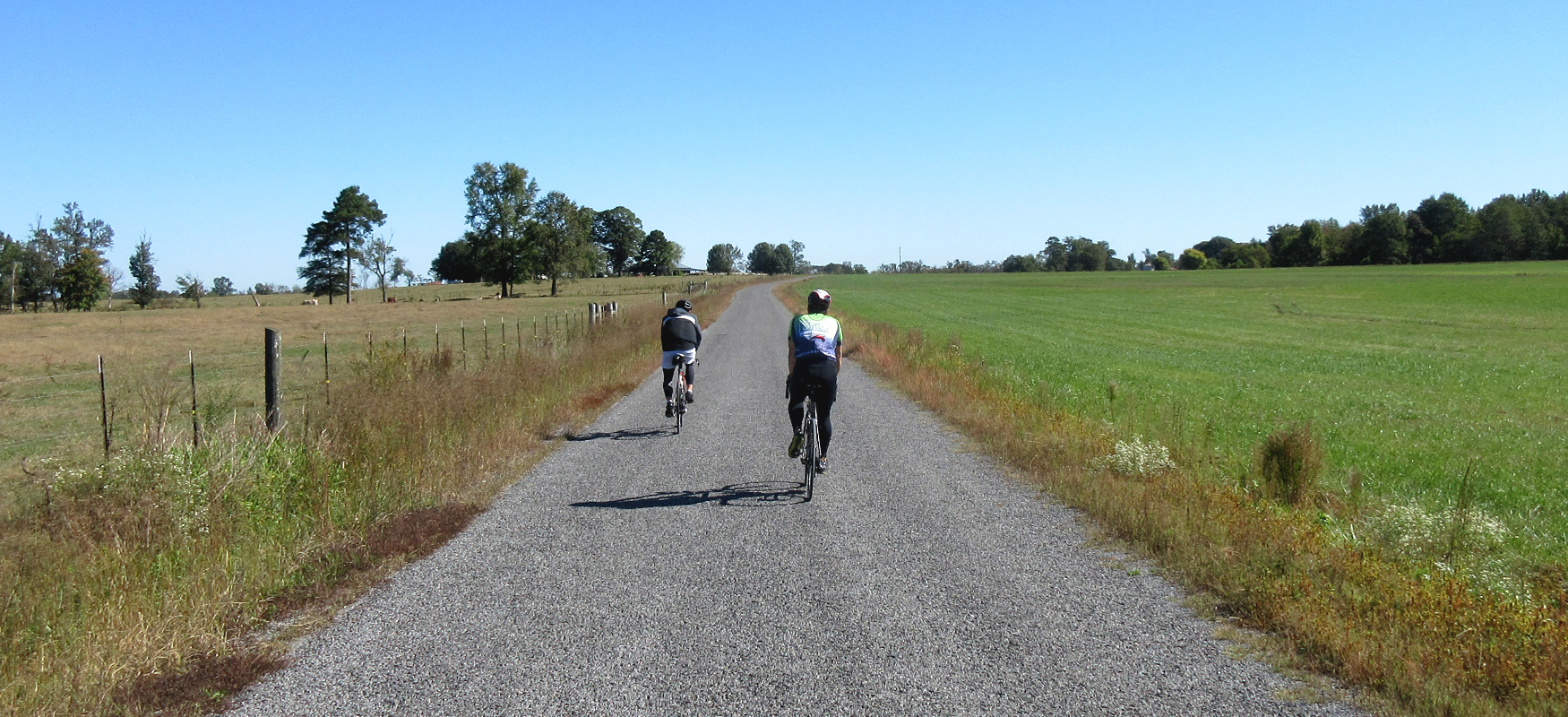
Section Ferry ends at a "T" intersection with Main Street where you'll turn right and roll down to the traffic light at Hwy 35 (Tammy Little Drive). Go straight through the light, staying on Main Street and follow it another half-mile until you see Bluff Road. After turning right on Bluff Road, you won't have to make another turn for almost 6 miles. Bluff Road starts off as a suburban street, but soon opens up into some farm scenery. It also has a few spots where you can see down to the Tennessee River. It's a good road to shake out the legs with plenty of rollers and gentle curves.
Bluff Road ends at a stop sign at its intersection with CR 38/Langston Gap Road. Turn right here and then immediately turn left onto CR 44. As with Bluff Road, CR 44 has some nice agricultural landscape along with rollers and fun curves. It also has a sharp descent followed by a short but steep climb starting around mile 9.5. It's a fun little dip that serves as a nice preview of the big drop into Buck's Pocket just a mile later.
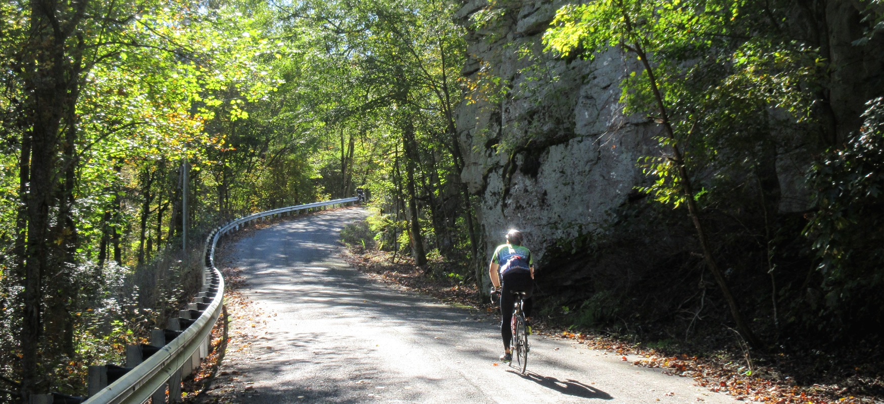
As you crest this first climb, look for CR 152 on your right. Turn right onto CR 152, and a half-mile later veer left onto CR 452. In addition to the sign pointing you to Buck's Pocket State Park, you'll also notice that the road heads straight down into a wooded area. Brace yourself for a long, steep descent as you turn onto CR 452 and pay attention to the pavement, as rough surfaces can be hidden in the shadows.
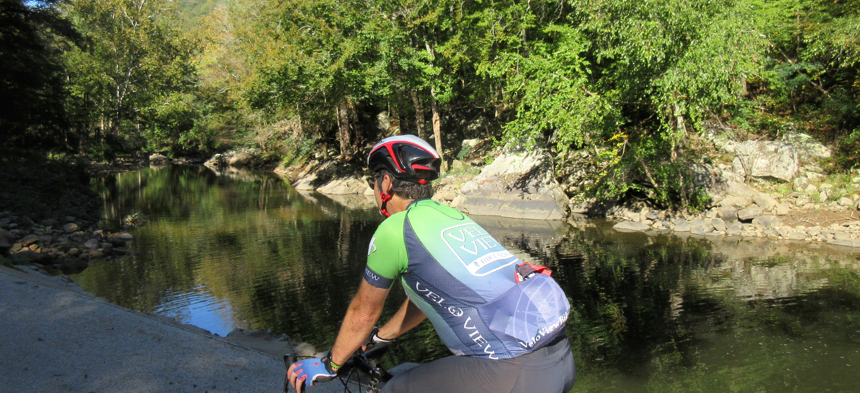
After a full mile of descending, you'll bottom out at a beautiful creek. Here you'll have to decide whether to lose your downhill speed to stop for a picture or carry your momentum into the climb that starts immediately after the bridge. Even if you choose to roll past the bridge, don't expect your momentum to get you very far, as the climb has some very steep grades that will have you wishing for more gears!
After crossing the bridge, you'll see a road to your left. Ignore the temptation to follow it downhill and continue on the road that goes straight up the hill. The pavement is not the best on the climb, but you won't be going fast so it won't matter. Be sure to take in the scenery as you work your way up the road. There are some beautiful boulders in the woods.
Though steep, the initial climb is around three-quarters of a mile, ending at a stop sign with CR 173. Take a left here (there's a sign pointing to the overlook) and follow CR 173 uphill for another half mile climb (much more manageable with easier grades) until it ends at a stop sign with CR 556.
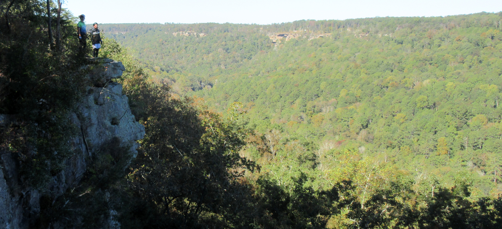
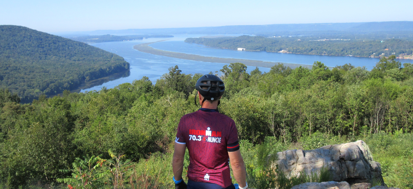
Turn left on CR 556 and enjoy the next mile of roller coaster fun on this beautiful road that leads to the overlook. The road ends at a parking lot and picnic area where you can walk out to the bluff and enjoy a spectacular view overlooking the Buck's Pocket gorge. Definitely worth a photo!
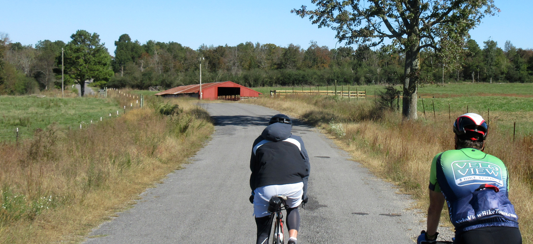
After taking in the view, follow CR 556 back the way you came and stay on it until it ends at a stop sign at CR 19, about a mile and a half from the overlook. Turn left on CR 19 and follow it another mile until it ends at a stop sign at CR 50, where you'll turn left again. CR 50 is a great road with some nice wide-open farmland scenery.
The scenery gets even better a couple of miles later when you turn off of CR 50 onto CR 536, which is bumpier than CR 50 but has a nice country lane feel to it. After a mile on CR 536, you'll turn left onto CR 538, which is another pleasant rural road with a little more variety of scenery (i.e. some trees mixed in with the farmland).
CR 538 ends at an intersection with CR 43, where you'll turn left followed by another left onto CR 56 less than a quarter-mile later. After turning onto CR 56, you'll have a short but fast descent down to a creek crossing. After crossing the bridge and starting to head uphill, take your first right onto CR 52.
CR 52 continues to climb for a short distance before leveling off and opening up into some nice farmland scenery. A mile and a half after turning onto CR 52, you'll come to a "T" intersection with CR 38 where you'll turn left. While traffic should still be light, CR 38 is a little more developed, so keep an eye out for cars. You'll only be on CR 38 for three-quarters of a mile before turning right onto CR 411, which is another nice rural residential/farmland road.
After a mile on CR 411, you'll come to CR 43, which is a more developed road that is a popular route into Section. Use caution as you turn right onto CR 43 and as you turn left off of it onto CR 66 a quarter-mile later. Almost immediately after turning onto CR 66, you'll turn right onto CR 37 which runs parallel to CR 43 but is a less popular way to get to Section. The first two miles of CR 37 are pleasant farmland, which transitions to a relatively denser residential neighborhood for the last mile as you get closer to Section.
After three miles on CR 37, it will bring you back to CR 43, which is called Main Street at this point since it's inside Section city limits. Carefully take a left onto Main Street and ride on the wide shoulder on the right side all the way up to the traffic light at Hwy 35 (Tammy Little Drive). Go straight through the light and take your first left onto Section Ferry Road which will take you back to Weathington Park and that magnificent view. Once back at the Park, you can drive down the street to the restaurants in Section on Hwy 35 or head down the mountain and across the river to downtown Scottsboro with for your post-ride recovery meal!