21 Miles / 800 Feet of Climbing
Enjoy stellar scenery just around the corner from South Pittsburg in this quiet cove surrounded by mountains and full of beautiful farmland and rich history.
Potential Route Modifications: This route can be shortened to 17 miles by heading back after Bean Roulston Cemetery rather than riding farther into the cove.
We recommend starting at Dragging Canoe Coffee Traders on Elm Avenue in South Pittsburg. In addition to offering some excellent coffee (and pastries!) to get you primed for the ride, they also have a large parking lot where you can leave your vehicle. Unfortunately, they don't have a restroom. If you need one prior to the ride, pop into the Dollar General store just around the corner. (As is always the case, making a small purchase in exchange for use of the restroom is good cycling etiquette.)
From the Dragging Canoe parking lot, head east through town along Elm Avenue until you reach First Street. Take a right on First Street and head down to Cedar Avenue. Cedar Avenue is the main thoroughfare running through South Pittsburg, so it may have some traffic. If you're uncomfortable riding with traffic, you can go straight through the light at First and Cedar and cut through the Foodland parking lot. Following the driveway past Foodland will bring you back to Cedar Avenue where you can go straight across to access Old Jasper Road. Whether you take the Foodland route or ride on Cedar Avenue, use extreme caution when turning onto Old Jasper Road as you will be crossing multiple lanes of traffic.
Once on Old Jasper, the traffic should all but disappear. There are a few short climbs on this road, but they are well worth the effort as you'll have some good views of the mountains in the distance as well as the landmark blue bridge that spans the Tennessee River leading into South Pittsburg.
Just before you reach Sweetens Cove Road, take note of the airplane sticking out of the parking lot on your left. The property was once a restaurant and the owner thought the airplane would be good for marketing. While the restaurant is no longer there, the airplane remains as eye-catching as ever!
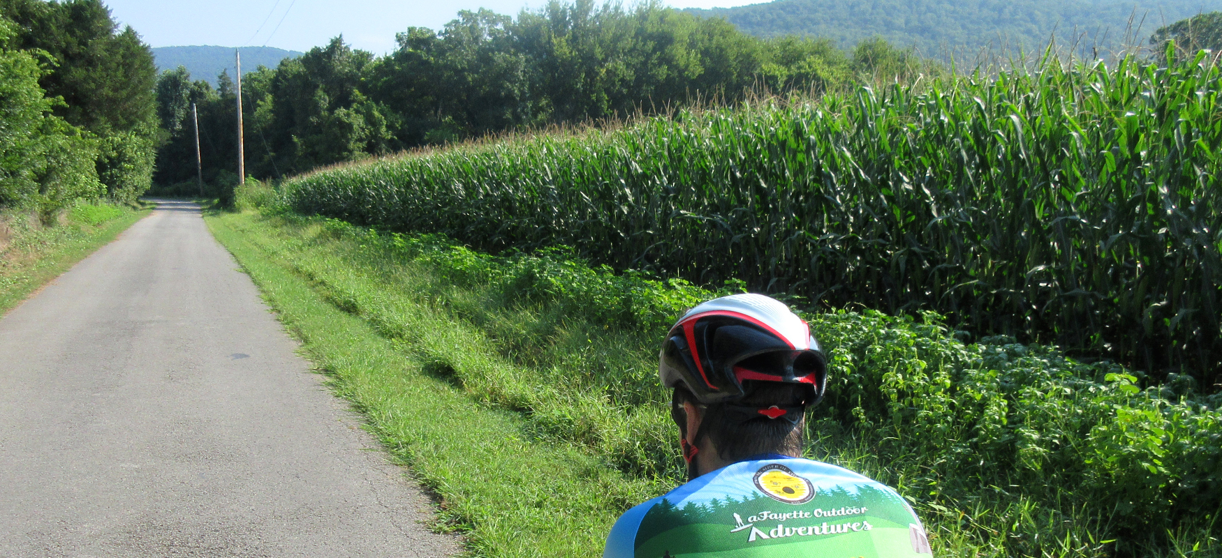
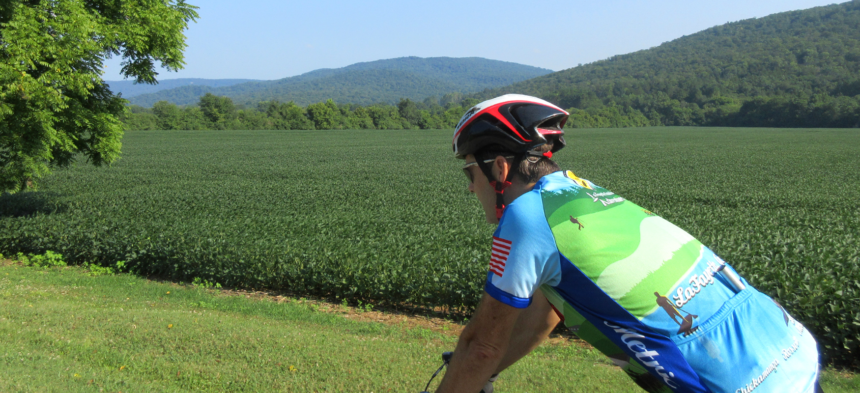
Sweetens Cove Road starts off as a shady tree-lined road before eventually opening up into farmland in the cove. This first part of the road does have some rollers as it follows Battle Creek, but there are no major climbs. Around Mile 4, Battle Creek turns away from the road and is replaced by the Sweetens Cove Golf Club (ranked by the New York Times as one of the top 50 modern golf courses in the country!).
After passing the golf course, the scenery will start to change as the trees give way to open farmland. Around Mile 7.5 look for a spring pouring out of a bank on the right side of the road!
A mile later on the left side of the road you'll see the historic Sweetens Cove Primitive Baptist Church. This church has convened since 1821, and the current building dates back to 1853. During the Civil War, it served as Union barracks and a hospital.
The old white building across the street from the church is the old Sweetens Cove schoolhouse (no longer in use).
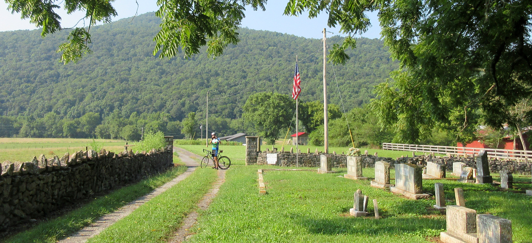
A must-see in Sweetens Cove is the Bean-Raulston Cemetery at Mile 9. Not only is it incredibly picturesque with its stone wall and mountain backdrop, but it also contains some incredible history dating back to the original settlers of the cove, the Bean and Roulston families. (Captain Robert Bean was born in 1764!)
The cemetery also has a headstone for 20 unknown Confederate cavalrymen who were killed during Battle of Sweetens Cove (a minor battle decisively won by Union forces)
For more information about the cemetery click here. And for more information about the Battle of Sweetens Cove click here.
After the cemetery, Sweetens Cove Road continues for another couple of miles before it turns to gravel, which is your cue to turn around and head home.
After retracing your steps and returning to South Pittsburg, head downtown for pizza at Stevarino's Italian Eatery and take some time checking out the unique stores and historic architecture of the buildings, primarily from the late 1800's/early 1900's, which was when the town flourished as one of the South's industrial centers. South Pittsburg was originally founded as a company town after coal seams were opened up following the Civil War, and was named in homage to the major iron-making center in Pennsylvania.
Today there is only one foundry in operation, Lodge Manufacturing Company, which dates back to 1896. It is the nation's leading producer of cast-iron pots and pans, and its Factory Store attracts thousands of visitors each year. It's also one of the primary reasons why South Pittsburg hosts the National Cornbread Festival each April, an event that draws close to 30,000 people annually!
For more information about the history of South Pittsburg, check out the South Pittsburg Heritage Museum on Cedar Avenue.