35 Miles / 3800 Feet of Climbing
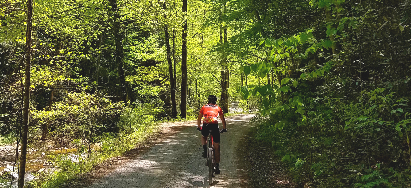
Travel deep into the Cherokee National Forest on this challenging rugged loop, following clear mountain streams and taking in views of Parksville Lake along the way!
Potential Route Modifications: This route can be shortened into a 23-mile loop (and 2,500 feet of climbing) by continuing straight on Baker Creek Road after mile 20 (rather than taking a left) which is a shortcut back to Cookson Creek Road and the ride start.
This is one of three routes that use the King's Slough boat ramp as the start & finish. (The other two are Sawmill Loop and Big Frog Loop.) From the boat ramp parking lot, take Sugar Loaf Drive down to Cookson Creek Road and take a left. Shortly after you make the turn, Cookson Creek Road becomes Forest Road 55 and turns to gravel. About a mile later, you'll come to the convergence of a number of forest roads. For this route, you'll go straight, which will put you on Forest Road 302.
Forest Road 302 runs along the south side of Parksville Lake, dipping down to cross over the creeks that form the lake's coves and rising up to cross over the ridgelines between each cove. It's a lot of up and down, but it's beautiful riding, and, despite being somewhat removed from the lake's edge, it provides some nice views of the water.
About 12 miles into the ride, Forest Road 302 turns away from the lake and heads south, trending uphill all the way to the turn at Forest Road 55, which is roughly four and a half miles away.
After turning right onto Forest Road 55, you'll continue uphill for another half mile before finally cresting the ridge and following the road downhill for the next three miles. As the road starts to climb again (around mile 20), look for Forest Road 99 on your left.
Forest Road 99 trends uphill for almost 3 miles before beginning an equally long descent. Towards the bottom of the descent, you'll run into Sina Branch Road (also known as Forest Road 67) where you'll turn right.
In addition to being a fun road to ride, Sina Branch Road is also environmentally significant for the design changes the forest service has made to the culverts. Sina Branch has endangered aquatic species, and the old culverts were preventing them from being able to pass through which restricted their habitat and impacted their population. The new culvert design has fixed this issue and allowed these aquatic species to make a comeback.
Sina Branch Road will wind around for over 8 miles before bringing you back to the intersection with Forest Road 55, which turns into Cookson Creek Road and takes you to Sugar Loaf Drive and the King's Slough boat ramp where you started.
While the boat ramp doesn't have any services, the Ocoee Dam Deli & Diner and Gondalier Italian restaurant are only a few miles away and offer great food for refueling after a tough ride in the woods!
For even more gravel routes, check out TennesseeGravel.com!

