41 Miles / 2100 Feet of Climbing
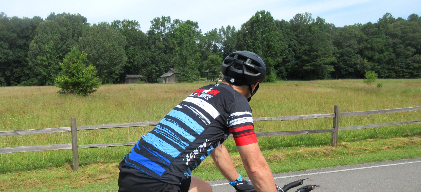
A favorite with the locals, the Red Clay Loop features some of the best roads in the region, and it offers a glimpse into the region's past with a stop at Red Clay State Park - the last capital of the Cherokee nation.
Potential Route Modifications: This route can be shortened into a 27-mile loop (1,300 feet of climbing) by turning left on Candies Creek Road at mile 14.5 rather than turning right, and then heading north on Tunnel Hill Road where you'll pick up the route. Or make it a 22-mile loop (with roughly 1,000 feet of climbing) by turning left on Old Alabama Road at mile 11.5 rather than turning right, and then heading east on Old Chattanooga Pike where you'll pick up the route.
If you're interested in spending more time diving into the history of the area, you could start this ride at Red Clay State Park. However, if you're interested in rewarding yourself with a home-cooked Southern meal after the ride (post-ride food is always our priority!), we recommend starting at the Farmhouse Restaurant in Cleveland, which is how we've mapped the route.
From the parking lot of the restaurant, the route will loop you around behind the restaurant to avoid having to ride on Harrison Pike. This short diversion will lead you to Sipes Road SW, which will take you south through a neighborhood on the other side of Harrison Pike. Continue straight after the stop sign at Harris Creek Road and turn left onto Pleasant Grove Trail.
Pleasant Grove Trail will lead you to a somewhat confusing intersection at Pleasant Grove Church Road. Pleasant Grove Trail continues straight on the other side of the road, but you have to veer to the left a bit in order to stay on it.
This will take you up a little hill to Humphrey Bridge Road, where you'll take a right. Watch your speed on this descent, as it ends at a stop sign. Take a right at this stop sign and follow Johnston School Road until it "T's" into Brymer Creek Road.
After a right turn onto Brymer Creek you'll suddenly be in the country, starting with a nice pastoral view off to the left followed by a fun curvey tree-lined section as the road dives down to follow its namesake creek. Be careful at mile 7 not to go straight onto Roark Lane. The creek takes a sharp left here, and so does Brymer Creek Road.
About a mile and a half after this left, the road runs into Lee Highway. Use caution when crossing this road as traffic moves pretty fast. On the other side of the road is a great convenience store called the McDonald Quick Stop (not to be confused with the ubiquitous franchise!). The store is cyclist-friendly and a great place to grab a snack or drink and use the restroom.
Just after crossing Lee Highway, Brymer Creek Road "T's" into McDonald Road, where you'll turn right. (Stay to the left shortly thereafter in order to continue on McDonald Road.)
Just before mile 10, take a left on Brock Lane, which is a fun downhill road that will lead you to Brock Road, where you'll turn left. Brock Road is similarly fun for the first half, but then it turns into a climb before reaching Old Alabama Road where you'll turn right.
Old Alabama Road is not terribly busy, but you may notice a few more cars than the previous roads. After about a mile and a half on Old Alabama, you'll take a left onto Rakestraw Road.
Once you turn onto Rakestraw Road gear down and be ready for a tough climb. It's not super long, but it is very steep with grades in the mid-teens! It's worth the effort though as the descent on the other side is not only a lot of fun (please use caution on the curves) but it also opens up into a stunning view of the valley on the other side of the hill. Rakestraw is just an overall great road to ride, and after bending to the right it leads you to another fantastic road - Candies Creek.
Take a right on Candies Creek and follow it a couple of miles until you see California Lane on the left. California Lane is another one of those roads that crosses over a ridge, so be ready to climb. Fortunately, this climb is not as bad as Rakestraw and the scenery is nice enough to distract you from the pain. And of course, the descent on the other side is a fun reward.
California Road bottoms out at its intersection with Tunnel Hill Road, where you'll turn right. After all the sharp curves and steep climbs and descents, Tunnel Hill Road will seem rather relaxed as it is relatively straight and relatively flat. The scenery is great though, with a good mix of tree-lined sections and open fields.
Tunnel Hill Road changes names to Wesleyan Road as you head south and merges briefly with TN 317. Just continue straight through this merger and Wesleyan Road will eventually take you down to Red Clay Road.
After turning left on Red Clay Road you'll launch onto back-to-back challenging climbs (the second is easier than the first if that's any consolation) before coming to a "T" intersection with Red Clay Park Road.
As the name suggests, turning left on this road will take you to Red Clay State Historic Park. The visitor center is about a half-mile down the road on your left, and we definitely recommend taking a rest stop here.
Not only are the facilities nice (clean restrooms, vending machine with drinks, etc.), but the visitors center also does an excellent job of interpreting the historic significance of the area, which was the last capital of the Cherokee nation before they were forced to head west on the Trail of Tears.
The park encompasses 263 acres, and while it's not accessible by bike, there are a couple of nice hiking trails that lead to an overlook tower, an historic farmstead, and the Blue Hole spring. Consider your bike ride pit stop a preview for a return trip!
After your break at the park, continue north on Red Clay Park Road, turning left at Weatherly Switch Trail and left again shortly after at Weatherly Switch Road. A half-mile later, you'll turn right onto Lead Mine Valley Road where you can settle into a nice steady rhythm over the next five and a half miles on this relatively straight flat road through mostly wide-open pasture land.
Lead Mine Valley Road eventually "T's" into Blue Springs Church Road, where you'll take a left and head uphill. Fortunately, the climb doesn't last too long, and the next mile and a half is pure joy on this beautiful stretch of road.
Blue Springs Road takes you to Tunnel Hill Road where you'll turn right. A mile later Tunnel Hill Road merges with Old Chattanooga Pike. Continue straight through this merge and then half a mile later look for Blackfox Road on your left.
Turn onto Blackfox Road and follow it for about a mile and a half almost all the way to Lee Highway. Just before you get there, take a left on Franklin Lane which will allow you to ride straight across Lee Highway without having to spend any time on it.
The road on the other side of the highway is Brymer Creek. A tenth of a mile later, you'll take a left on Johnston School road, where things should start to look familiar from the first part of the ride.
Johnston School Road will take you back to Humphrey Bridge Road, but rather than retracing the earlier route on Pleasant Grove Trail continue straight on Humphrey Bridge Road until it "T's" into Pleasant Grove Place. Turn right on Pleasant Grove Place and go half a mile before turning left onto Blythewood Road.
Blythewood makes for a great finish as it rolls past some picturesque horse farms before reaching Harrison Pike. Go straight across Harrison Pike and take your first left on Old Harrison Pike. From here it's a slow roll to Sipes Street and the Farmhouse Restaurant for refueling!