49 Miles / 3800 Feet of Climbing
Climb out of the Valley and up to the Cumberland Plateau on this challenging loop from Dunlap!
While the rolling hills of the valley floor do add up over time, those looking for an even greater challenge can ride up to the Cumberland Plateau via Daus Mountain Road, a killer climb guaranteed to provide a sense of accomplishment!
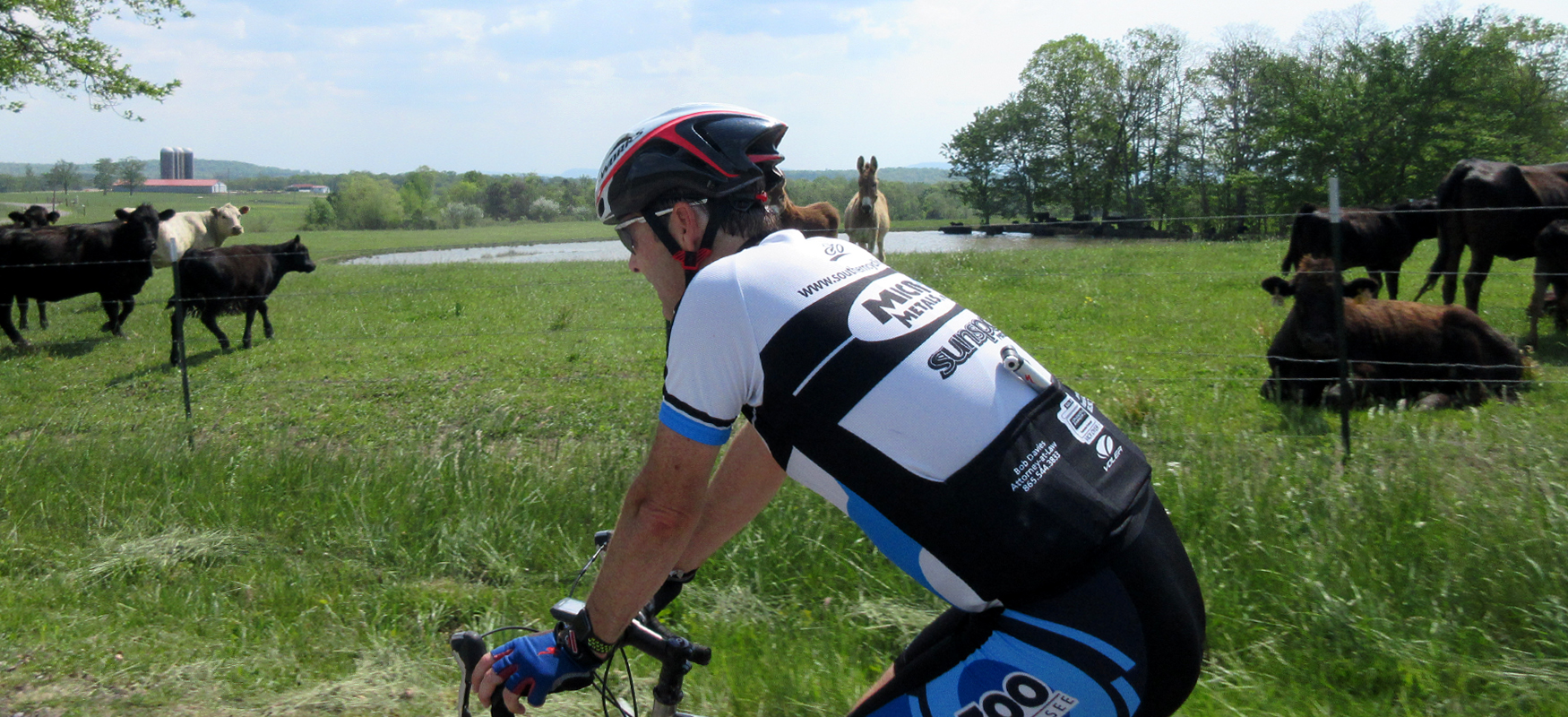
We recommend parking at the Cookie Jar Cafe, which will not only set you up for a great post-ride meal, but it will also start you off with one of the best views in the Valley overlooking the dairy farm that has been in the family for over 150 years! They also have a petting zoo if you'd like to experience the farm up close and personal. (If the restaurant isn't open when you arrive, you can find a bathroom behind the restaurant.)
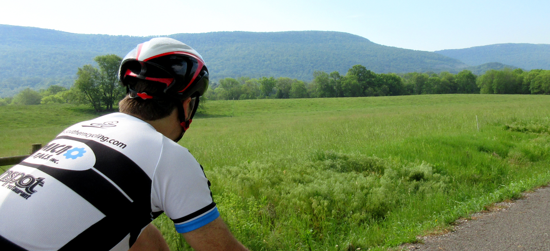
To provide a proper warm-up before the climb, head south on the east side of the valley, starting with a great little farm road directly across from the Cookie Jar Cafe driveway (Old Mill Road). This road winds around to East Valley Road, where you’ll take a right and roll south for about eight miles, enjoying some great views of the valley along the way.
Look for Stone Cave Road around Mile 9.5 and turn right, which will have you heading west. A couple of miles after turning onto Stone Cave Road you’ll see a sign by a gravel driveway on the right side of the road for Clark’s Bakery. Directly across from the driveway on the left side of the road is a crystal clear spring bubbling out of the ground. While not verified, some locals claim the water is pure enough to drink straight from the spring!
If you’re hesitant to fill up your water bottles at the spring, head down the gravel driveway to Clark’s Bakery where you’ll find a little store. Not only do they have a surprisingly good selection of drink options, they also have some amazing cookies and other baked goods, all of which use whole grains and simple ingredients. In fact, the bakery started in the founders’ kitchen because they wanted healthier bread than could be found at the local supermarket. They quickly outgrew the kitchen and now sell all-natural products on a beautiful farm in the heart of Sequatchie Valley. Grab a drink and a cookie and soak up the peaceful atmosphere at the picnic table outside the store. (While not marked, they do have a restroom. Just ask the cashier and she’ll show you where it is.)
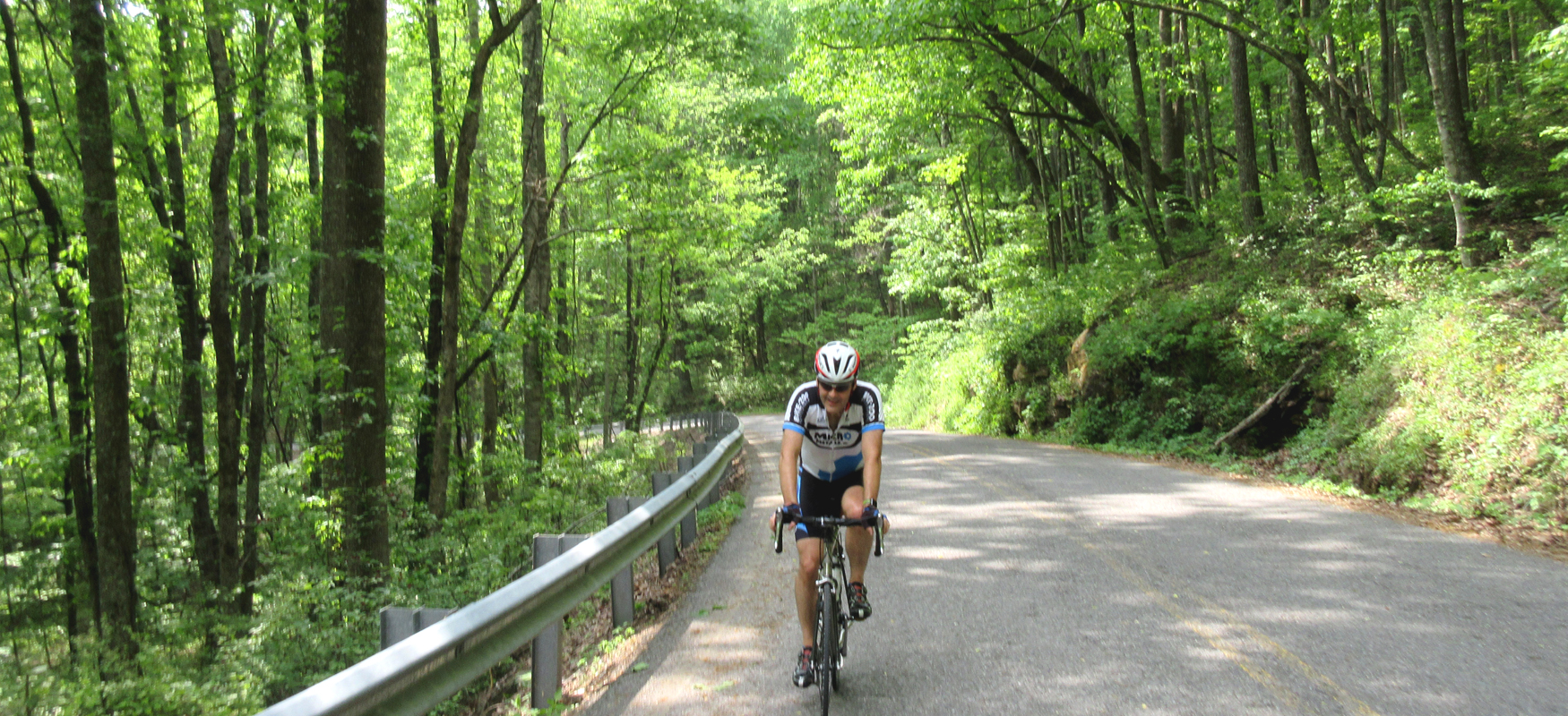
After a restorative break at the bakery, continue west on Stone Cave Road across Highway 28 until it “T’s” into West Valley Road. Take a left onto West Valley Road, and then less than half a mile later, turn right onto Daus Mountain Road. The first mile of this climb is super steep (double-digit grades), so be prepared for a challenging start! Thankfully, the grade comes down after this brutal introduction, and the climb becomes a bit more steady, finally leveling out as you make your way across the plateau.
Daus Mountain Road eventually runs into Barkertown Road (also known as Highway 399). If you need a snack, pop into Scott’s Grocery at this intersection. While not a high traffic road, Highway 399 does have a little more traffic than Daus Mountain Road, so be aware of passing vehicles.
Less than five miles after turning right on Highway 399, look for Savage Gulf Natural Area on your left. Not only is this a place to note for future trips (they have an excellent trail system!), but you’ll also find clean restrooms and tap water available near the parking lot just off the highway.
After a quick pit stop at Savage Gulf, continue on Highway 399 another four miles and turn right onto Fredonia Road. Fredonia road does not have a street sign, but it’s pretty obvious that this is the road to take (before your reach Mile 32).
Around Mile 38, look for Wheeler Road on your left. There’s a cemetery at this intersection, and you should also see a sign for Wheeler’s Orchard. Roll down Wheeler Road until you reach the Orchard and take a refreshing break with fresh squeezed cider!
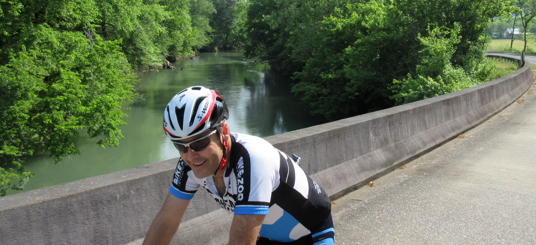
After returning to Fredonia Road, take a left and continue east back towards Dunlap. Not long after leaving Wheeler Road, Fredonia Road will turn down the mountain, leaving the Cumberland Plateau and returning to Sequatchie Valley. The descent is fun, but it does have some sharp turns, so keep your speed in check and don’t cheat on the blind curves.
In addition to basic safety, you’ll also want to keep your speed down to avoid missing the turn onto Tram Trail. This road will sneak up on you as you make the descent, so keep an eye out for it. It will be on your left around Mile 43.5.
Take Tram Trail across Highway 111, and then turn left onto Old Union Road. You’ll stay on Old Union Road for a couple of miles, working your way up and down a series of short punchy climbs and descents, before veering right onto Union Gap Road. (This “right turn” feels more like a continuation of the same road. There’s a cemetery on the right as the road splits, which you can use as a landmark to veer right.)
Union Gap Road will take you to Highway 28, where you’ll go straight across and launch onto your last challenging climb of the day going up Ewtonville Ridge Road. The climb is not terribly long and you’ll have a fun descent down to Kelly Cross Road after you crest. Take a left on Kelly Cross Road (there’s great scenery at this intersection!), which will take you back to the Cookie Jar Cafe and an excellent post-ride meal!