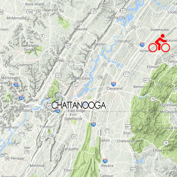
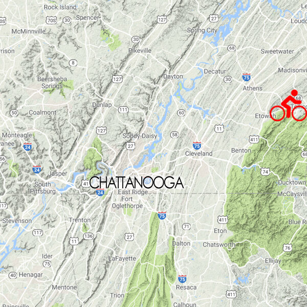
Something for Everyone
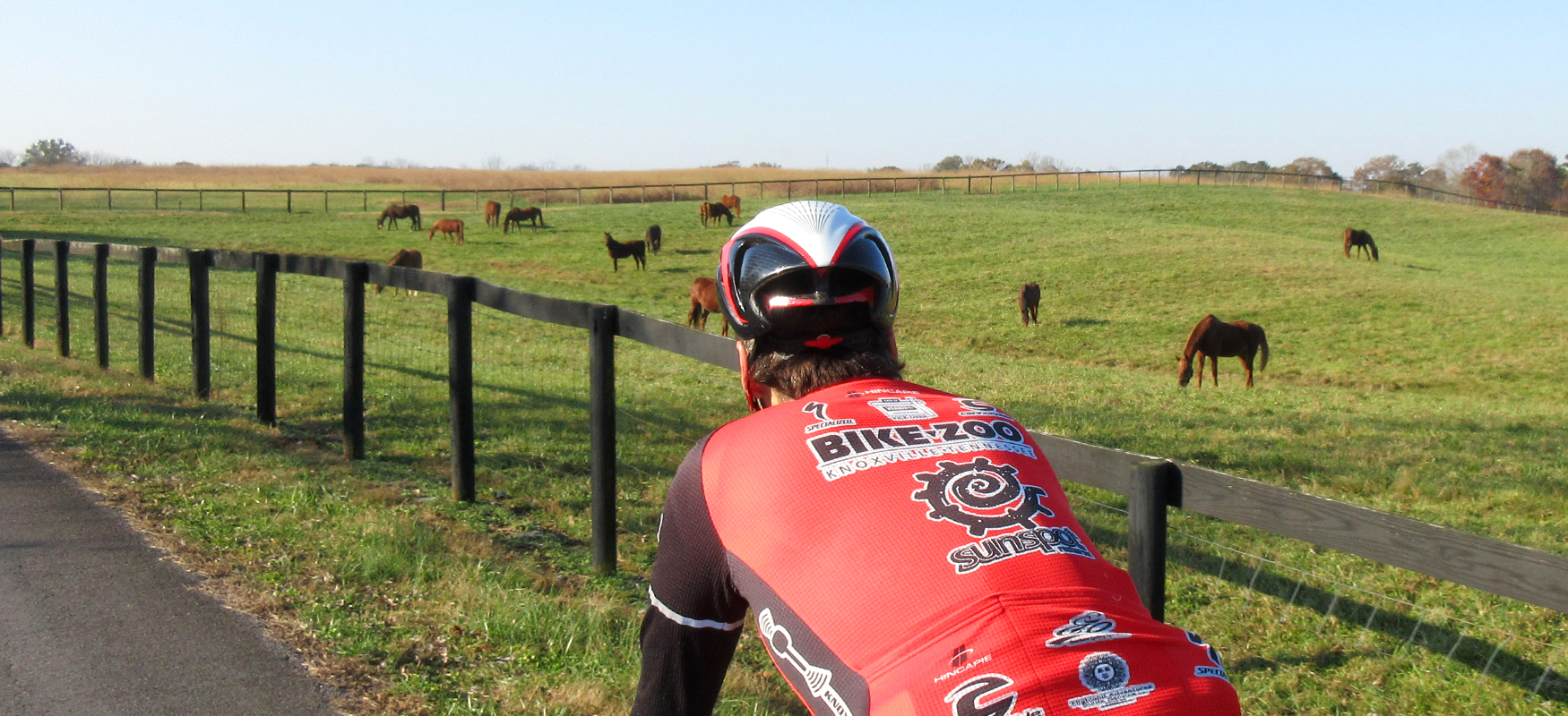
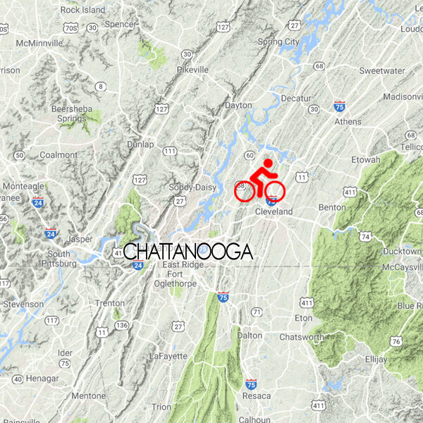
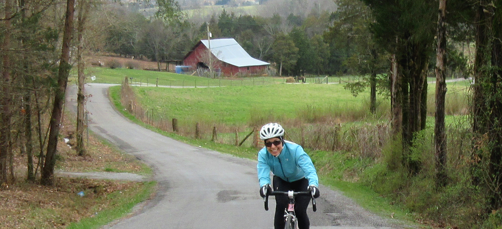
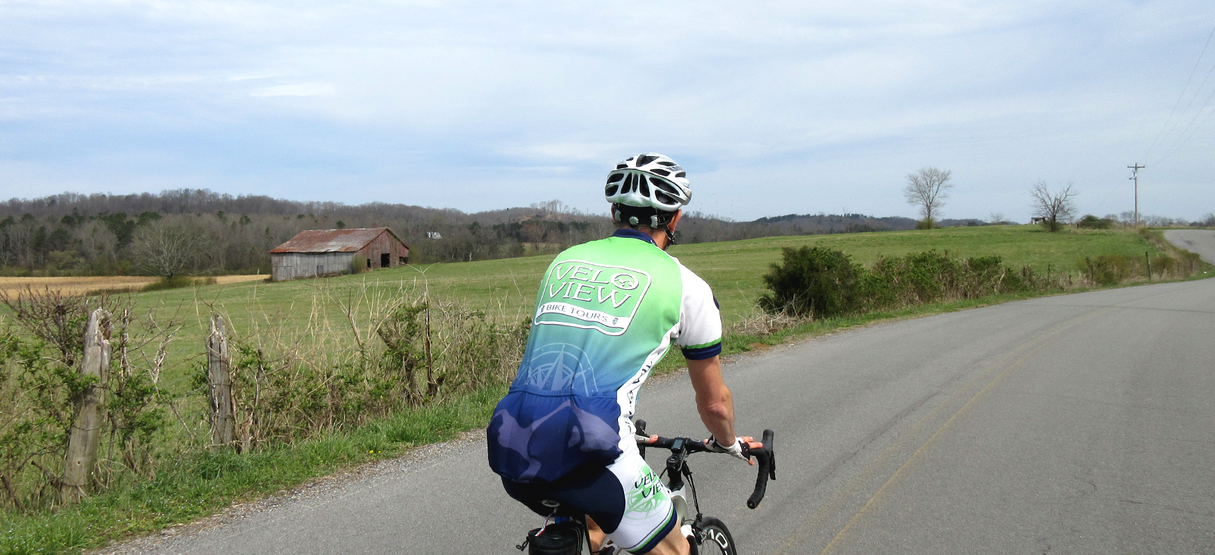
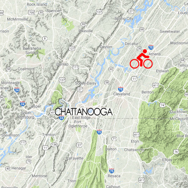
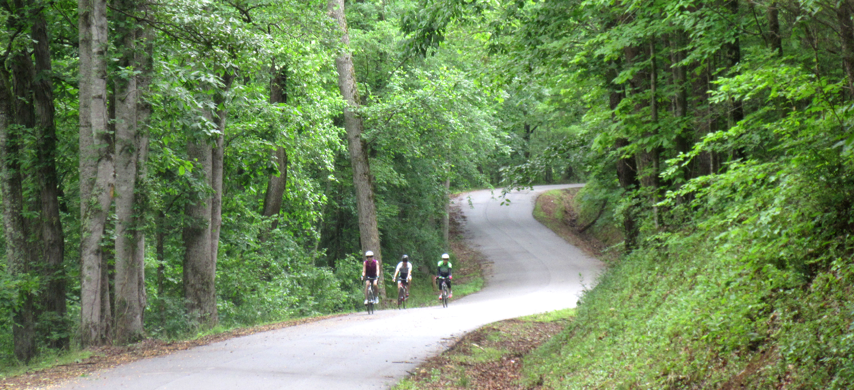
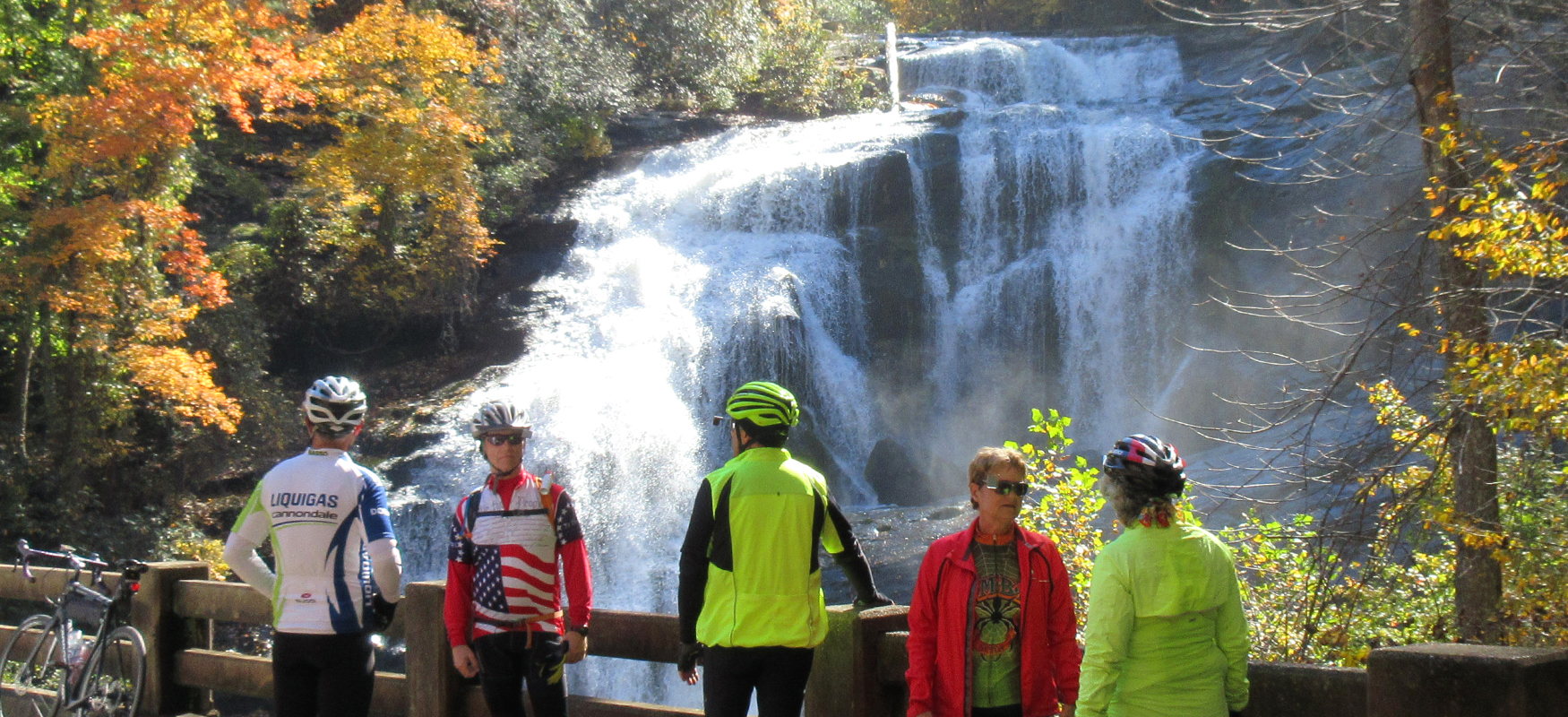
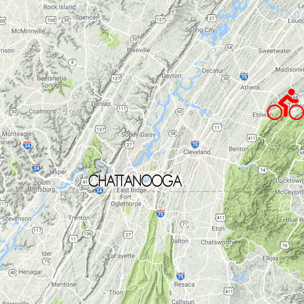
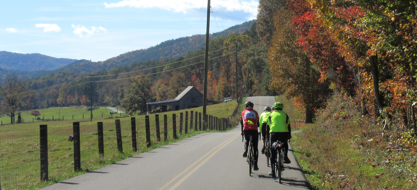
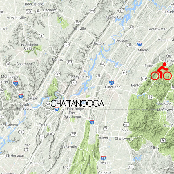
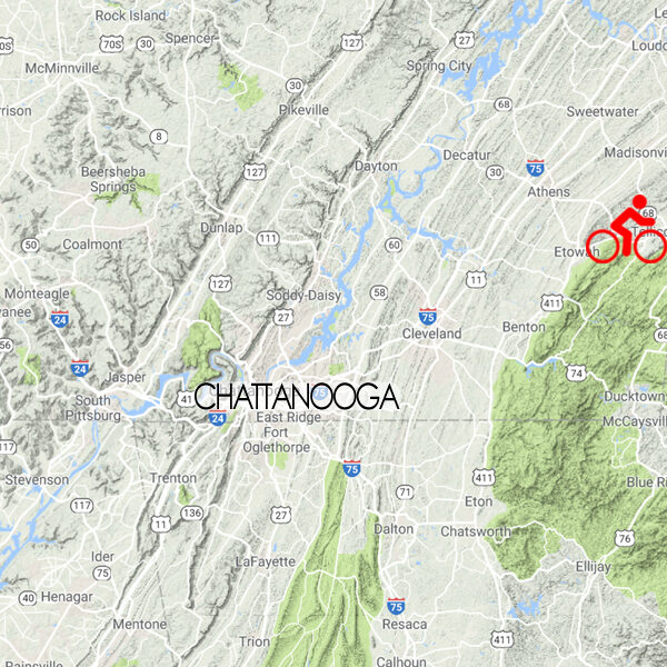
Much as the Ocoee, Hiwassee and Tellico rivers grow from cascading streams in the Cherokee National Forest to meandering waterways of the Tennessee River basin, the landscape of this region ranges from steep mountain topography to wide open pastoral plains, offering an exceptional variety of options for cyclists of all stripes, including bikepackers and gravel grinders! Welcome to Three Rivers Way - postcard-perfect scenery, rich history and cycling heaven!
Points of Interest
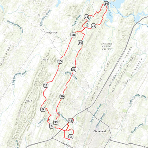
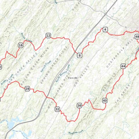
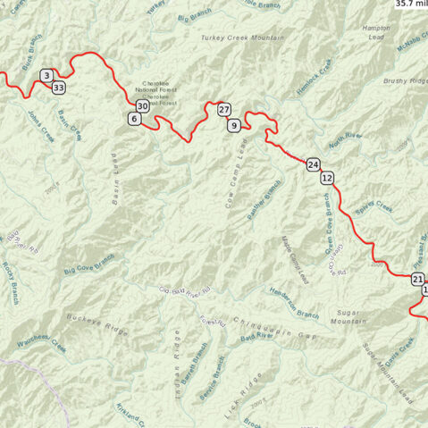
Each of the Scenic Bikeway routes below have been carefully mapped to maximize your time on the bike, giving you the best scenery, the most enjoyable roads, and the most interesting landmarks. To that end, each map highlights "points of interest" along the way - restaurants, rest stops, historic landmarks, etc.
Route Modifications
We've also noted how each route can be modified to make them shorter or longer. While the routes have recommended loops and turnaround points, there are plenty of ways to customize each route to whatever works best for you. And if you have a bike suitable for gravel riding, we've included optional unpaved loops as well.
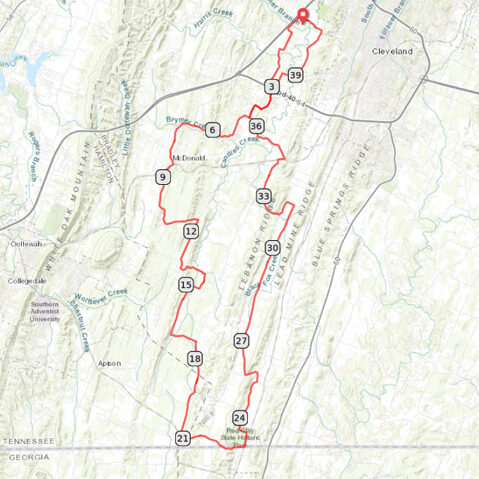
Red Clay Loop
41 miles / 2100 feet of climbing
A favorite with the locals, the Red Clay Loop features some of the best roads in the region, and it offers a glimpse into the region's past with a stop at Red Clay State Park - the last capital of the Cherokee nation.
START/FINISH: Cleveland, TN
Rabbit Valley Loop
42 miles / 2200 feet of climbing
Cruise through rolling farmland from Cleveland all the way to the Hiwassee River on the beautiful backroads just west of town.
START/FINISH: Cleveland, TN
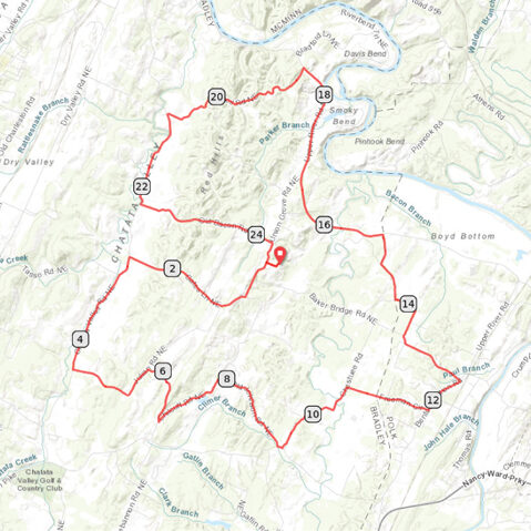
Chatata Valley Loop
25 miles / 1500 feet of climbing
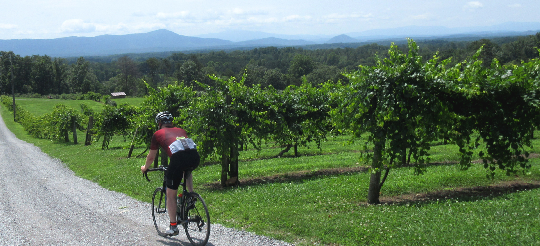
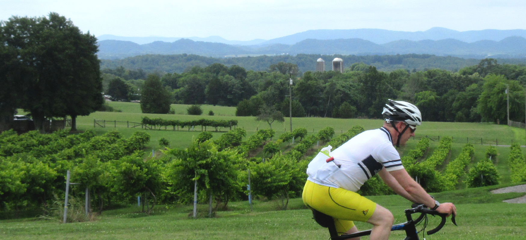
Take in gorgeous scenery and push yourself on steep pitches on this short but challenging loop featuring beautiful farmland, curvy backroads and excellent pavement - plus a fantastic winery with a panoramic view of the mountains!
START/FINISH: Charleston, TN
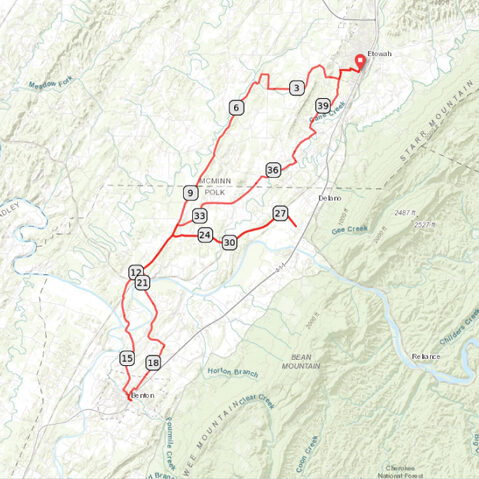
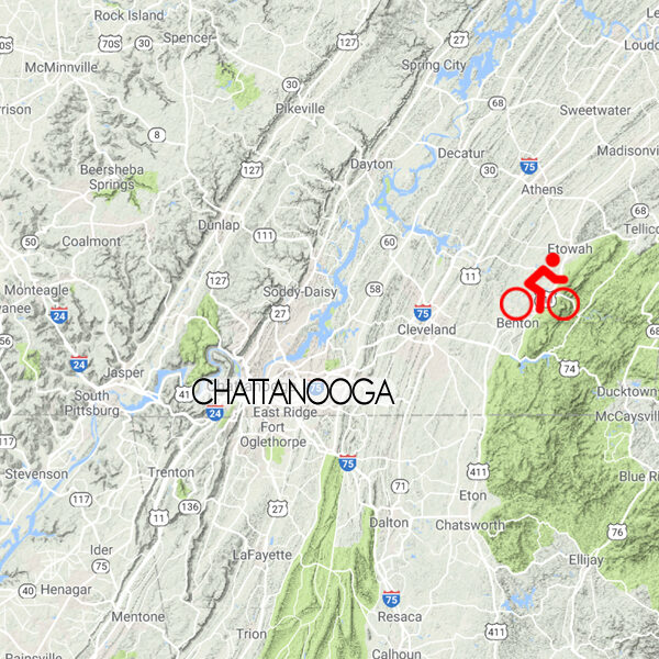
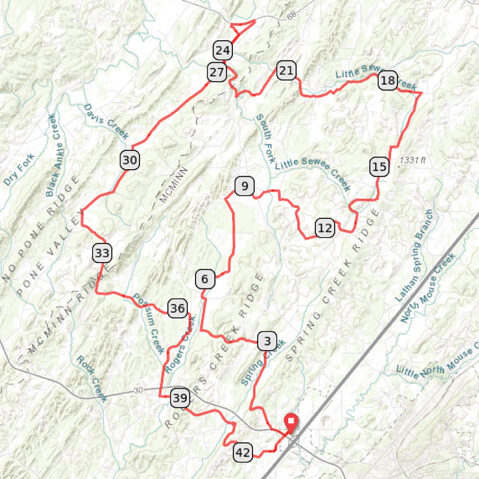
Etowah-Benton Loop
41 miles / 2100 feet of climbing
Explore the varied scenery of rural East Tennessee as you ride between two small towns, stopping at a farmers market and winery along the way!
START/FINISH: Etowah, TN
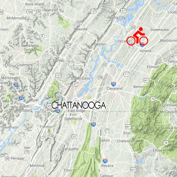
McMinn County Loop
43 miles / 2300 feet of climbing
Experience in one ride the wonderful diversity - both scenery and topography - that makes Three Rivers Way such a great place to ride!
START/FINISH: Athens, TN
Athens Loop
49 miles / 2800 feet of climbing
Ride straight from downtown Athens into the beautiful East Tennessee countryside on this hilly survey of the Scenic South!
START/FINISH: Athens, TN
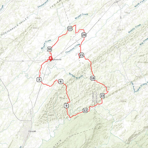
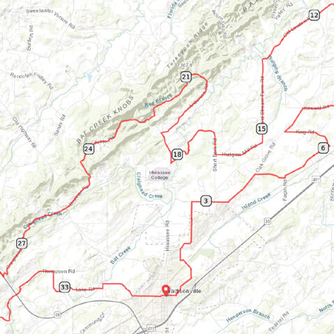
Englewood Loop
31 miles / 1900 feet of climbing
The perfect low-traffic loop with a little bit of everything - farmland scenery, backwoods rollers, creekside stretches and wide-open vistas!
START/FINISH: Englewood, TN
Madisonville Loop
35 miles / 2300 feet of climbing
Challenge yourself on rolling terrain that will take you through hilly farmland and backwoods hollows before delivering you to a hilltop winery with panoramic mountain views!
START/FINISH: Madisonville, TN
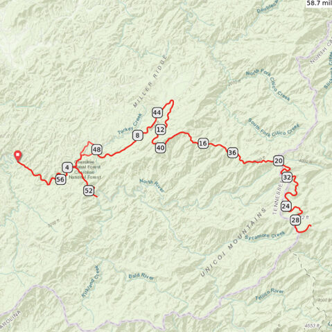
Cherohala Skyway Challenge
59 miles / 7400 feet of climbing
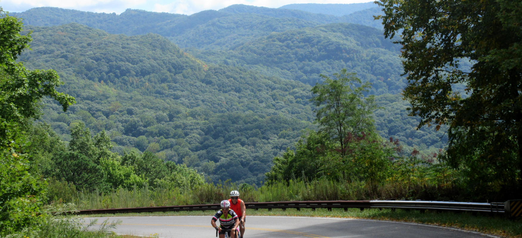
Take on one of the longest and most challenging climbs east of Colorado and be rewarded with breathtaking views and an exhilarating descent!
START/FINISH: Tellico Plains, TN
Tellico River Out & Back
36 miles / 1900 feet of climbing
Follow the Tellico River deep into the Cherokee National Forest on this idyllic ride!
START/FINISH: Tellico Plains, TN
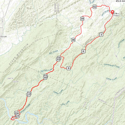
Tellico Plains-Reliance Loop
45 miles / 3100 feet of climbing
This ride is all about challenge and reward, offering some of the best scenery in the region while serving up a steady dose of climbing - and fast descents!
START/FINISH: Tellico Plains, TN
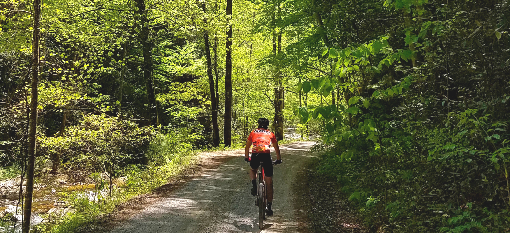
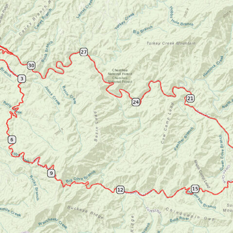
GRAVEL: Bald River Loop
31 miles / 3000 feet of climbing
Get the best of both worlds on this super scenic (and hilly!) ride that offers gorgeous gravel riding followed by a gentle downhill on pavement.
START/FINISH: Tellico Plains, TN
Eureka Trail
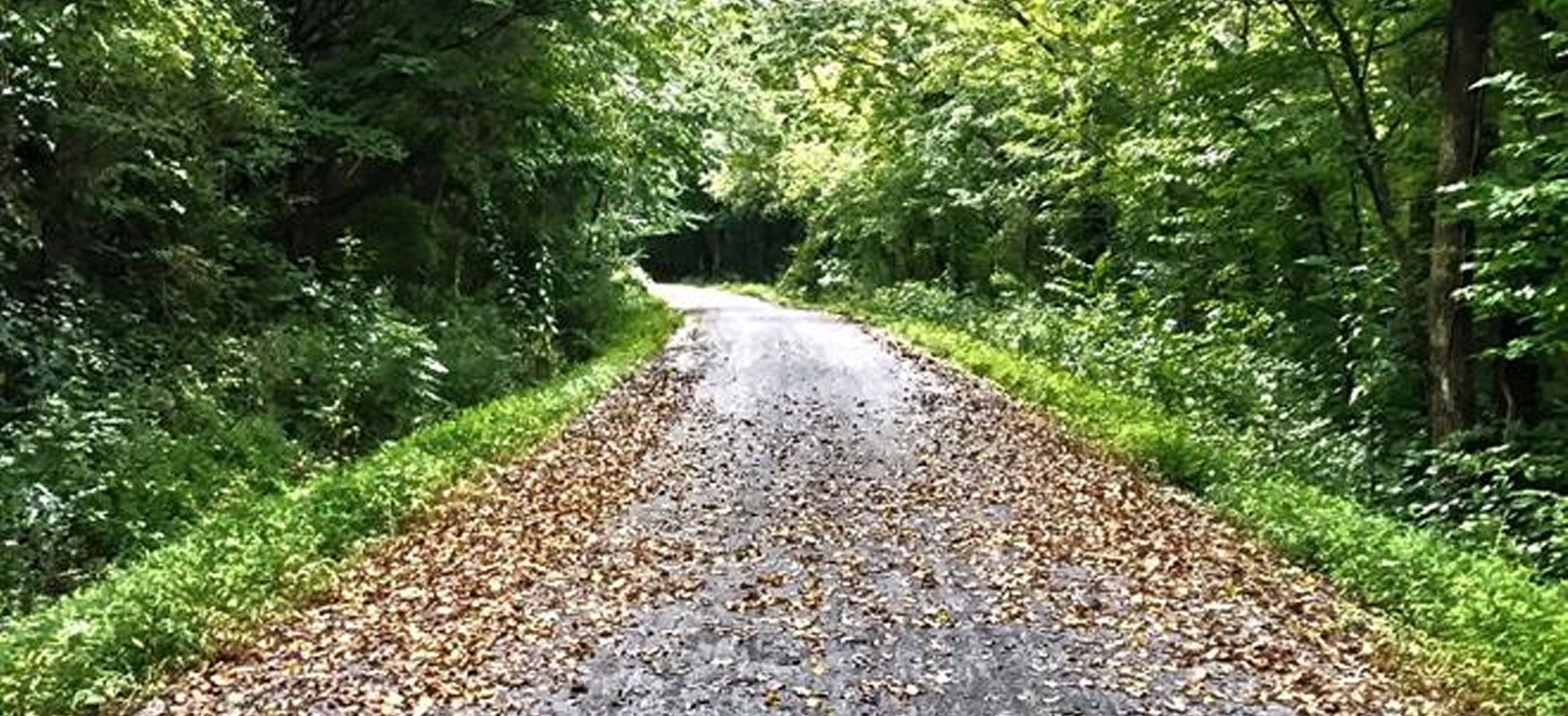
Although it's only in its first phase of a little over four miles, the Eureka Trail is a great escape on a completely car-free bike path leading out of Athens. The surface is a hard-pack gravel that adds to the trail's rustic appeal, but it does require a wider tire than a typical road bike. With the right bike, it's great fun and will soon get you all the way from Athens to Englewood!
MORE INFO: Eureka Trail
Cleveland/Bradley County Greenway
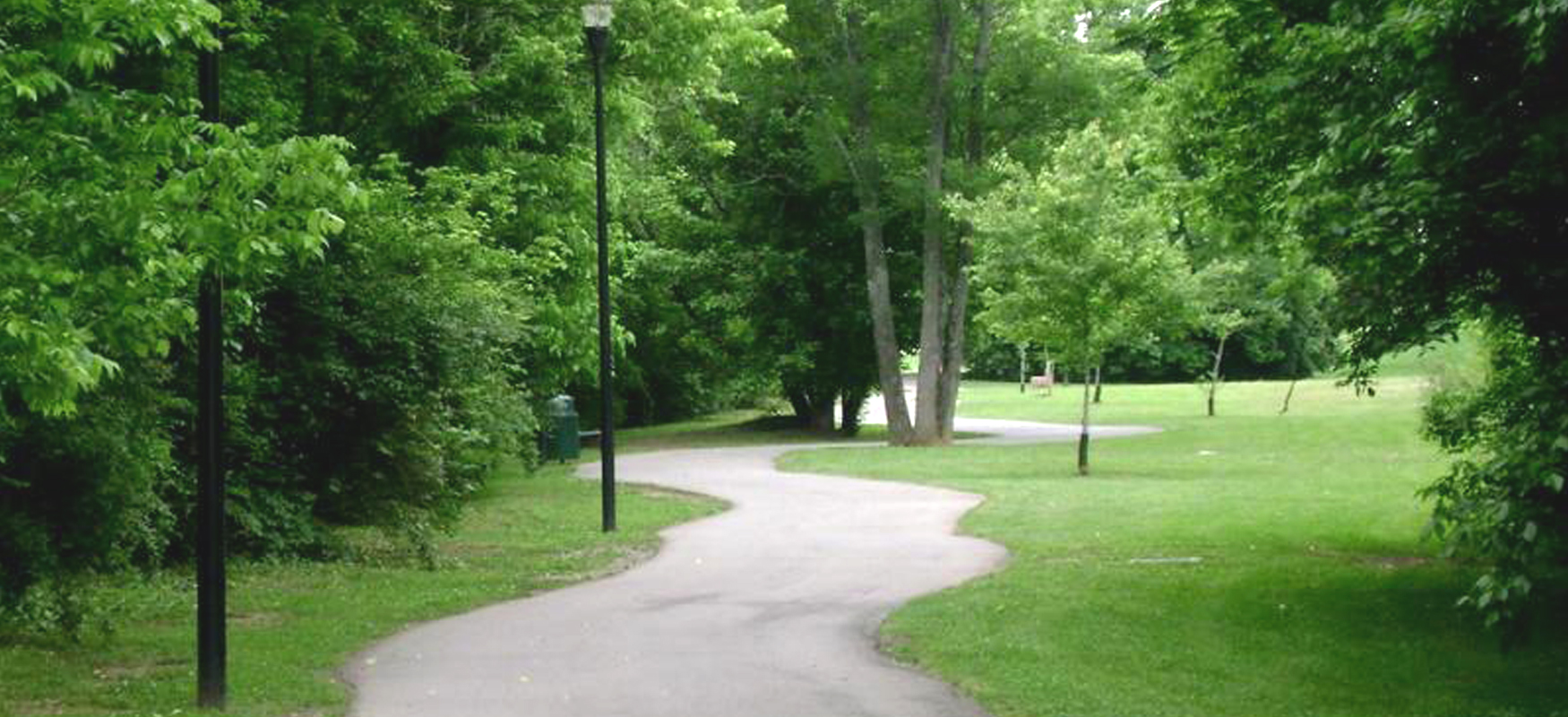
While it differs in character from the backroads highlighted in the other routes for this region, the bike path in central Cleveland is definitely worth checking out. The Greenway runs for four miles with no street crossings and is lighted 24/7, making it an excellent option for exploring Cleveland by bike!
MORE INFO: Cleveland/Bradley County Greenway
For information on gravel cycling in this region, check out TennesseeGravel.com!
Rules of the Road
- Always wear a helmet.
- Avoid using earbuds while riding, as awareness of your surroundings at all times is crucial to your safety as well as the safety of those around you.
- Keep an eye out for vehicles while riding and be considerate to vehicles trying to pass.
- Obey all traffic laws, which means stopping at all stop signs and traffic lights.
- Ride no more than two abreast.
- Ride on the shoulder or in a bike lane whenever possible.
- If you need to stop while riding, please get completely off the road.
- When crossing train tracks, try to have your wheels perpendicular to the tracks and don't turn your handlebar when riding across. Hold your line until you're on the other side. Never ride parallel with the tracks when crossing, as bike tires are easily caught in the gaps next to the rails.
- Control your speed on fast descents by feathering your brakes, and always brake before entering sharp turns (as opposed to a sudden hard squeeze in the middle of a turn).
- Communicate with other cyclists when riding as a group. When turning, signal with your hand and tell everyone which direction you're turning. Announce when you're slowing down or coming to a stop. Call out hazards in the road.
- Be predictable. Ride in a straight line without zig-zagging, and ride at a consistent speed without sudden accelerations or decreases in speed.
