46 Miles / 5600 Feet of Climbing
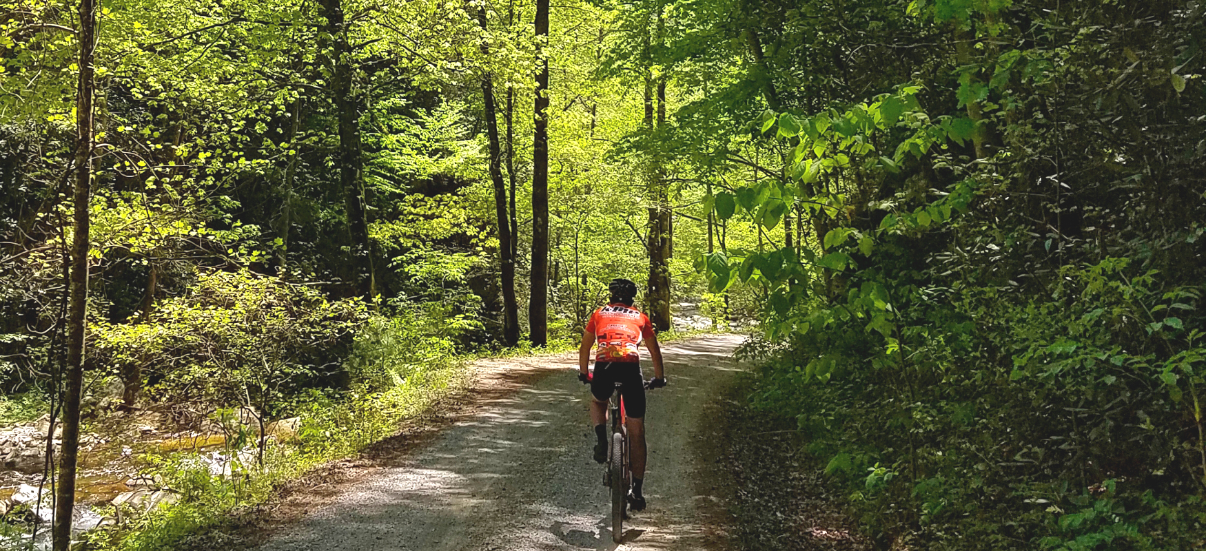
Combining Indian Creek Loop with Sawmill Loop, this ride offers a challenging and rewarding adventure through the Cherokee National Forest!
Potential Route Modifications: This route can be shortened by almost 10 miles (and reduced to 4,000 feet of climbing) by continuing straight on Peavine Sneed Creek Road around mile 18 rather than taking a left on Forest Road 221.
This is one of three routes that use the King's Slough boat ramp as the start & finish. (The other two are Indian Creek Loop and Sawmill Loop.) From the boat ramp parking lot, take Sugar Loaf Drive down to Cookson Creek Road and take a left. Shortly after you make the turn, Cookson Creek Road becomes Forest Road 55 and turns to gravel. About a mile later, you'll come to the convergence of a number of forest roads. For this route, you'll go straight, which will put you on Forest Road 302.
Forest Road 302 runs along the south side of Parksville Lake, dipping down to cross over the creeks that form the lake's coves and rising up to cross over the ridgelines between each cove. It's a lot of up and down, but it's beautiful riding, and, despite being somewhat removed from the lake's edge, it provides some nice views of the water.
About 12 miles into the ride, Forest Road 302 turns away from the lake and heads south for almost 6 miles. After passing Sylco Campground, you'll turn left on Forest Road 221 and head uphill. As the climb levels off, look for Big Frog Road on your right. After turning onto Big Frog Road (at mile 10), you'll enjoy a short downhill before launching onto a pretty substantial climb of over two and a half miles!
After the cresting the top, you'll enjoy 6 miles of fun curvy downhill until it bottoms out at Peavine Sneed Creek Road at mile 19.7. (Just before you reach the bottom look for a piped spring at mile 19.4 to refill your water bottles!)
After about a mile, Peavine Sneed Creek Road bends to the right and becomes Sheeds Creek Road (also known as Ladds Creek Road and Forest Road 221) as it runs along the Conasauga River for just over a mile. The Conasauga River is one of the few rivers where Darter fish can be found. At mile 21.6, there is a great snorkeling hole and small beach with an informative kiosk showing all the fish that inhabit the Conasauga River, including those that are unique to this waterway.
After the swimming hole, the route turns away from the Conasauga River, and roughly 5 miles later runs into Sina Branch Road. You'll turn right on Sina Branch Road and follow it 9 miles back to the intersection with Forest Road 55, which turns into Cookson Creek Road and takes you to Sugar Loaf Drive and the King's Slough boat ramp where you started.
In addition to being a fun road to ride, Sina Branch Road is also environmentally significant for the design changes the forest service has made to the culverts. Sina Branch has endangered aquatic species, and the old culverts were preventing them from being able to pass through which restricted their habitat and impacted their population. The new culvert design has fixed this issue and allowed these aquatic species to make a comeback.
While the boat ramp doesn't have any services, the Ocoee Dam Deli & Diner and Gondalier Italian restaurant are only a few miles away and offer great food for refueling after a tough ride in the woods!
For even more gravel routes, check out TennesseeGravel.com!