Town & Country
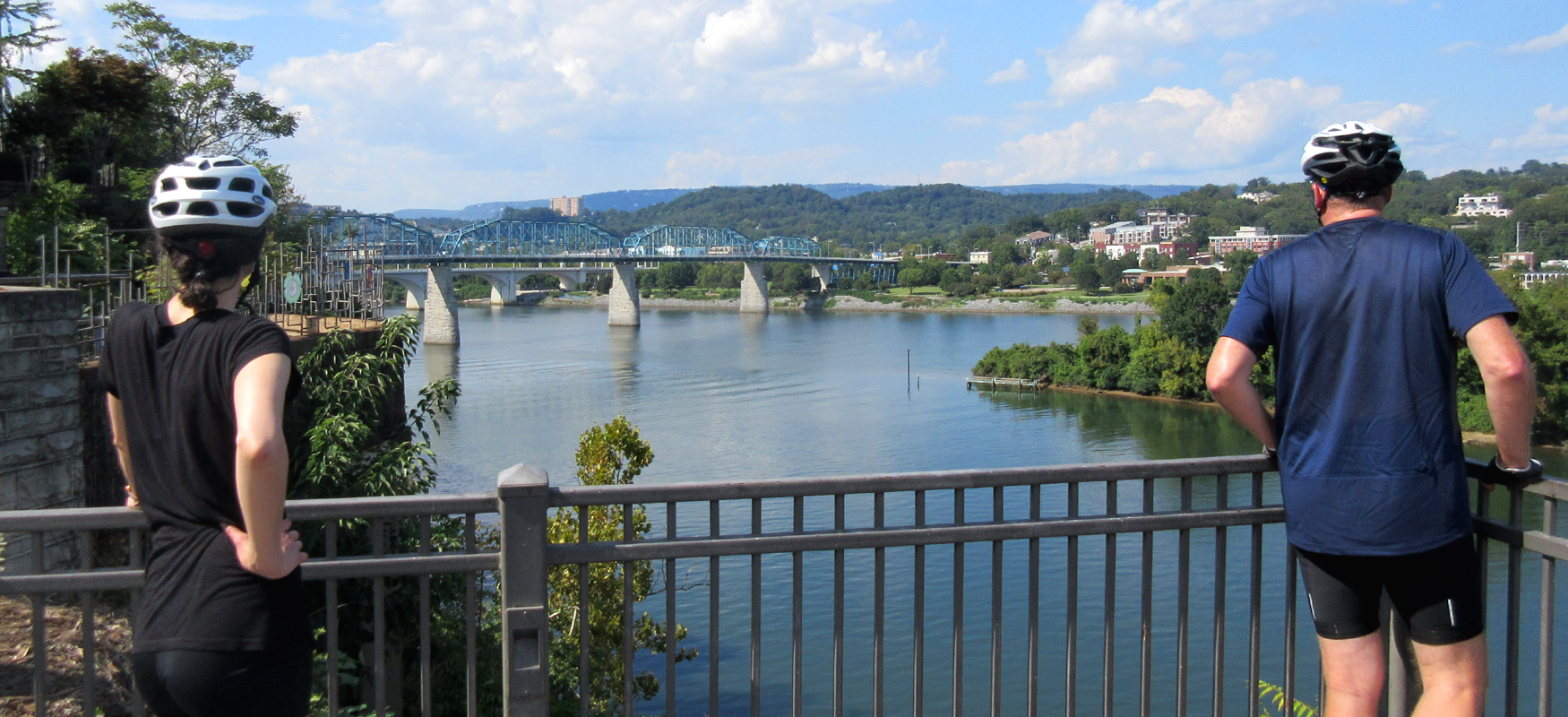
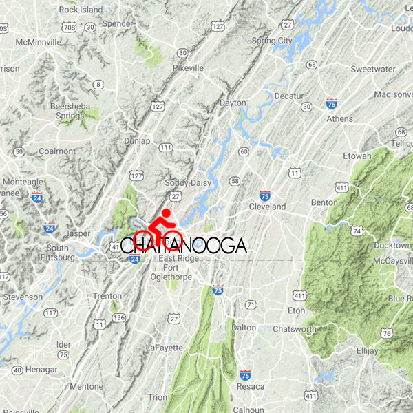
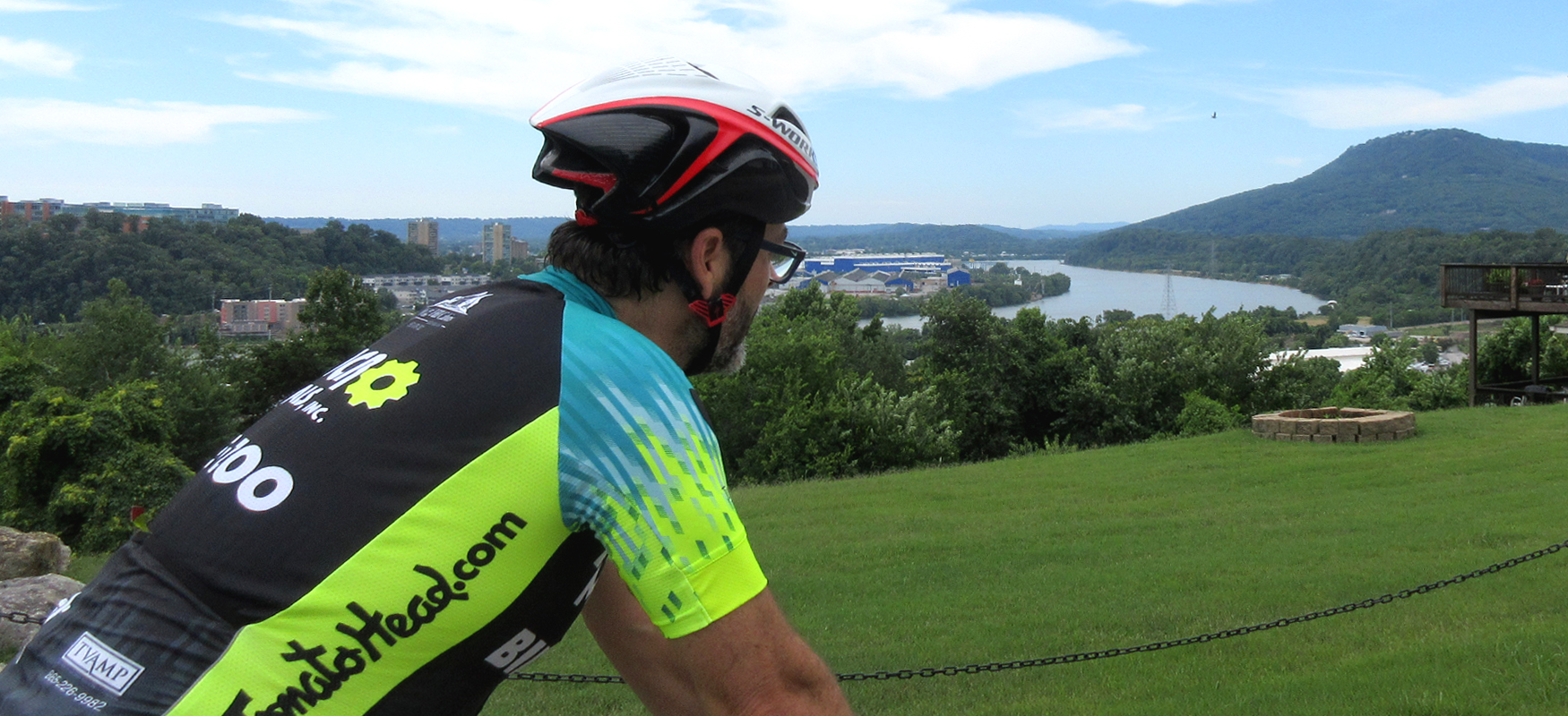
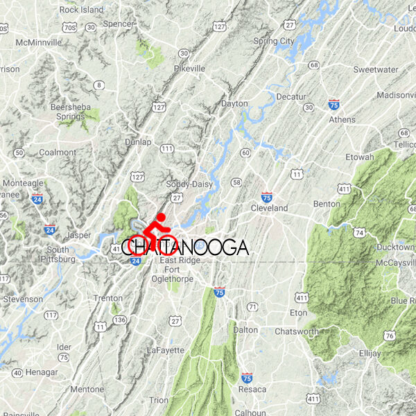
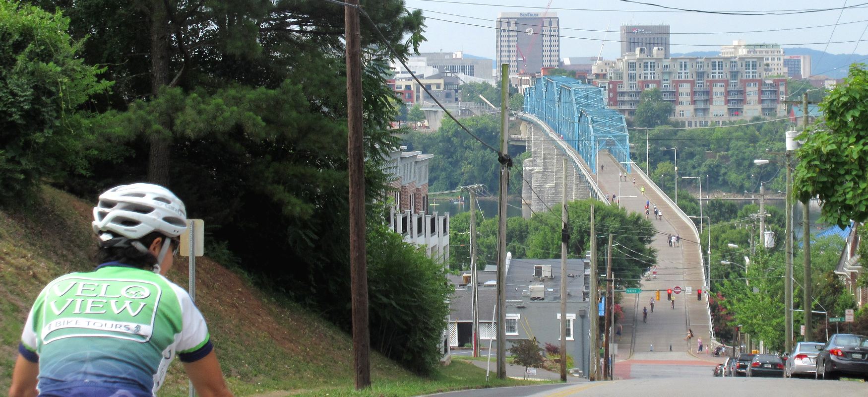
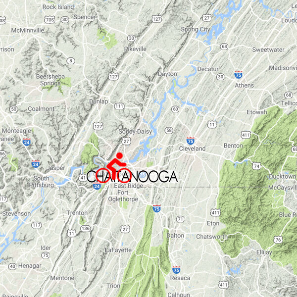
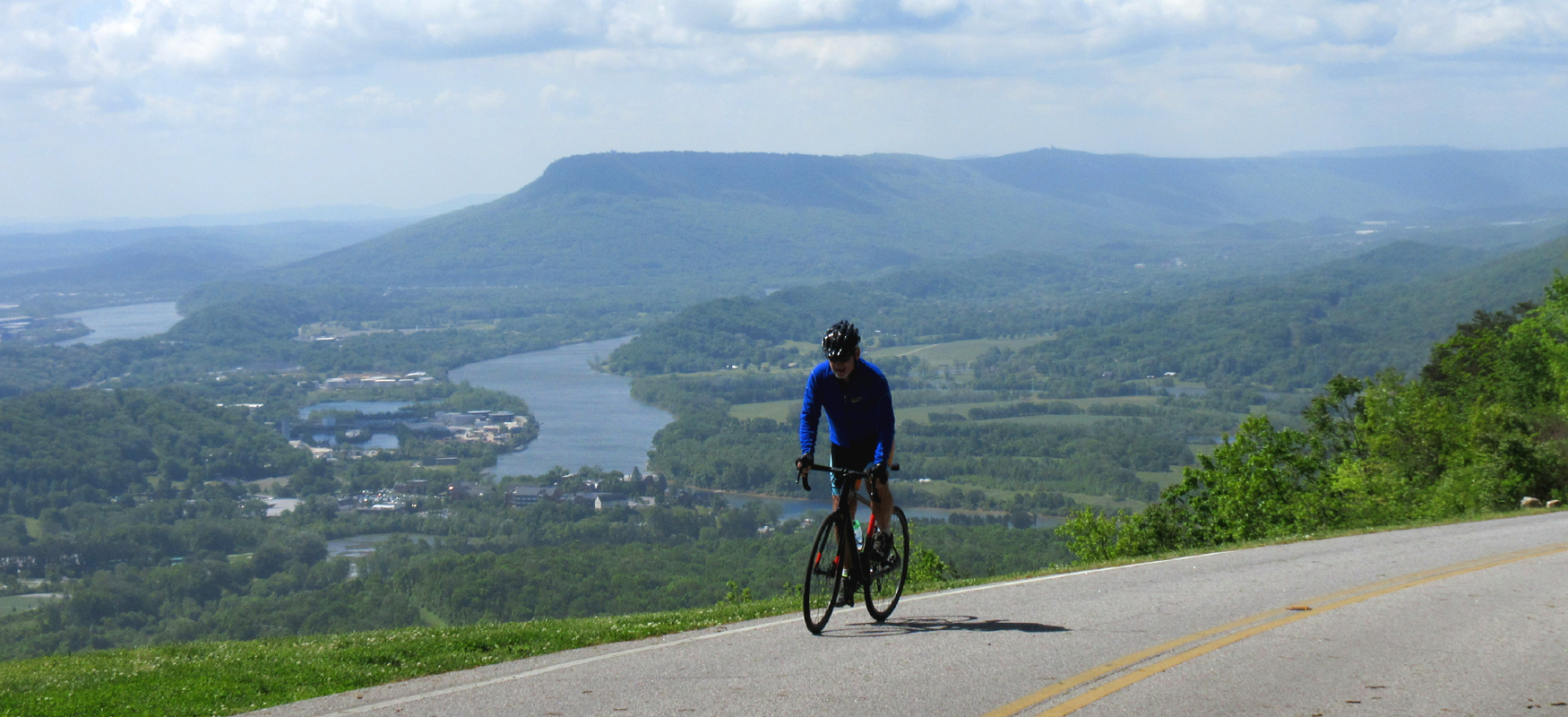
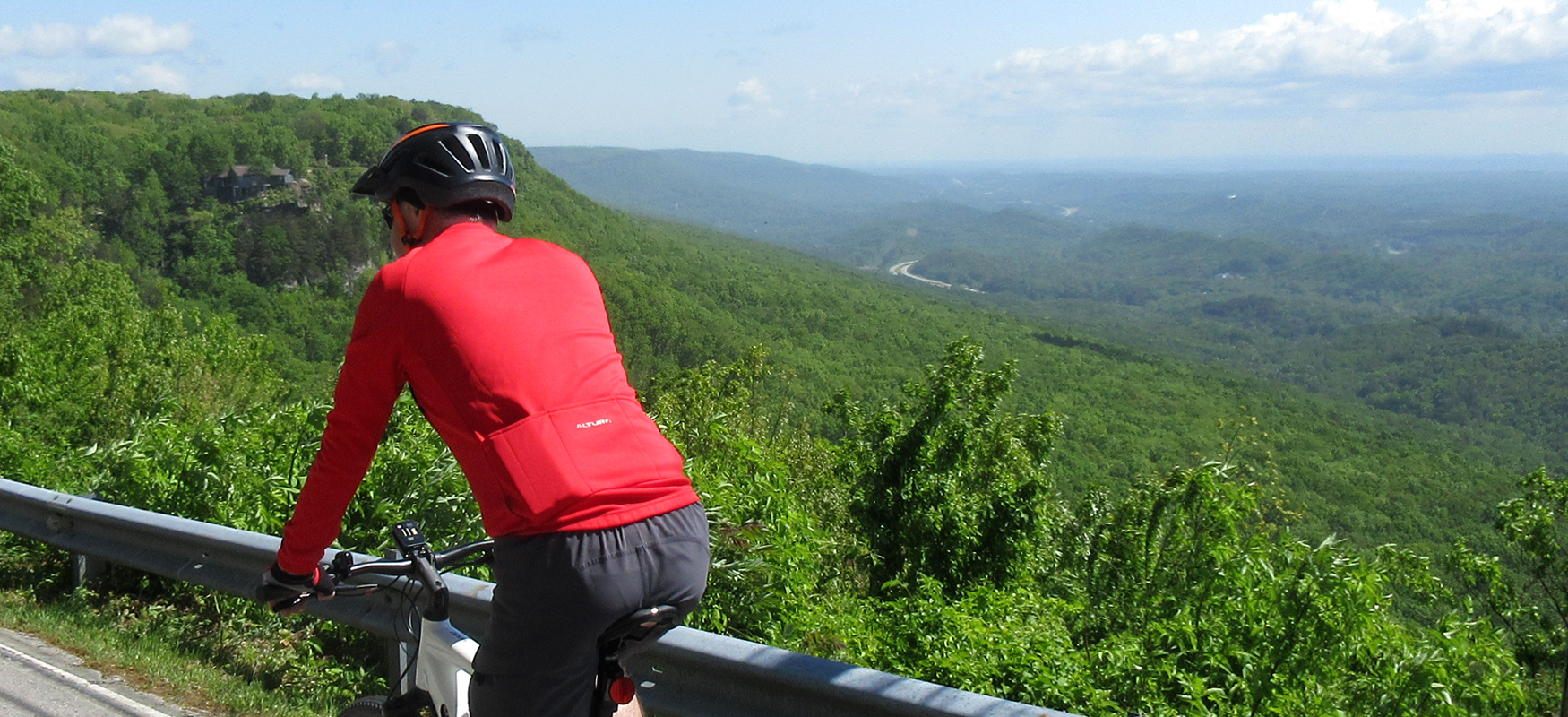
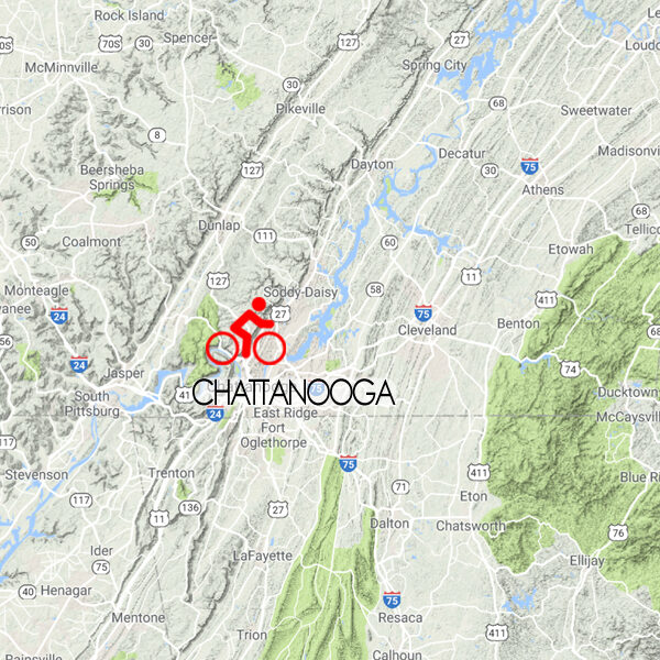
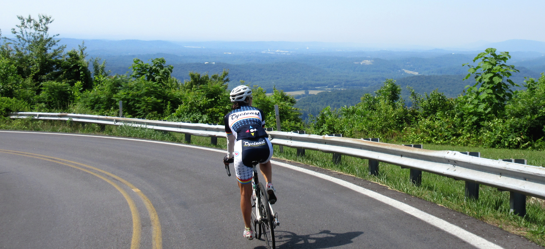
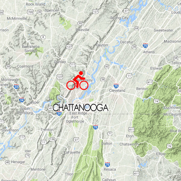
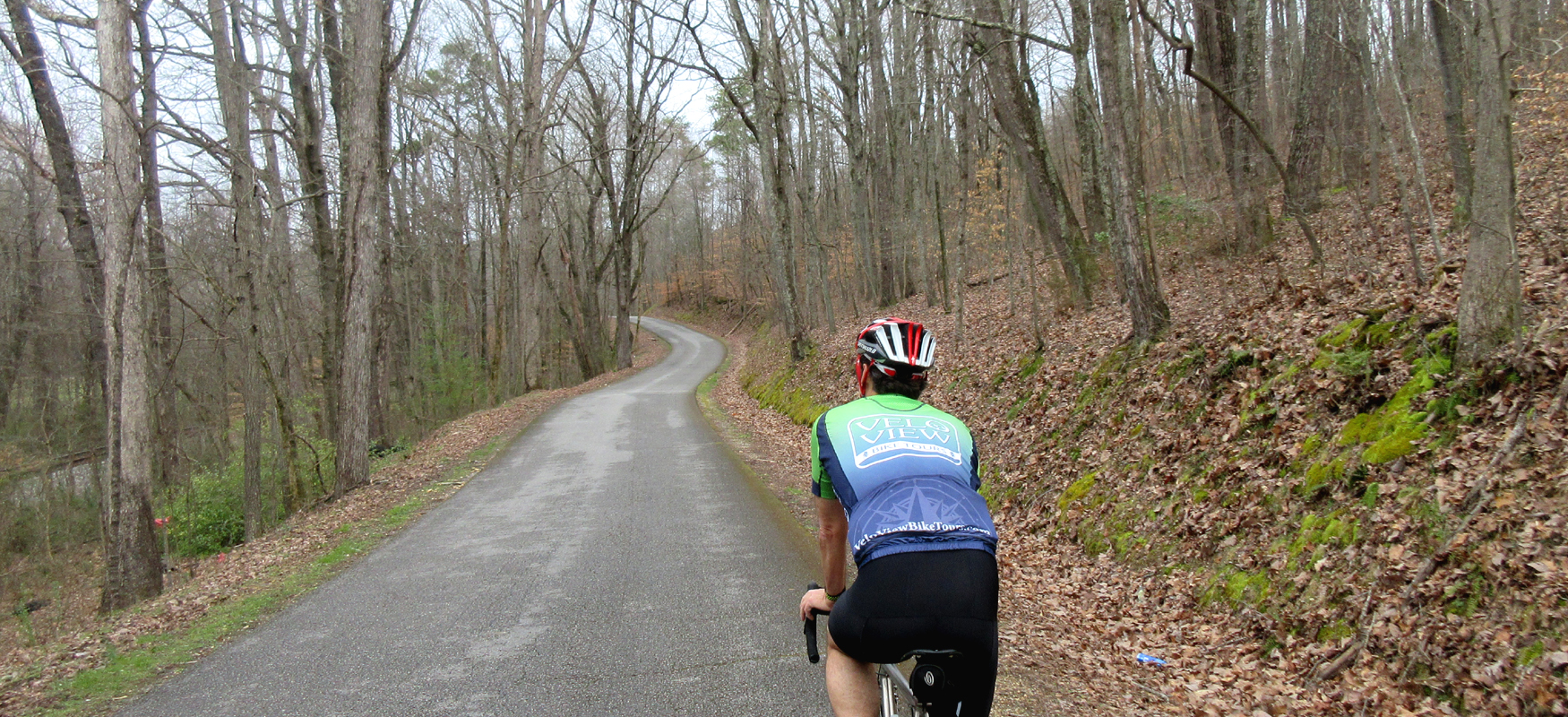
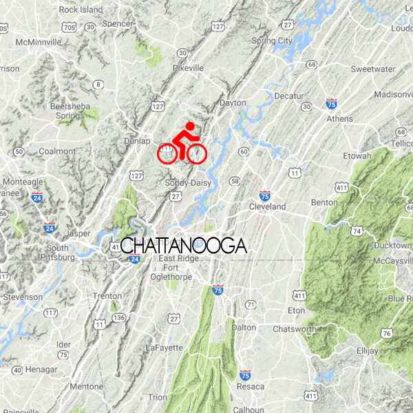
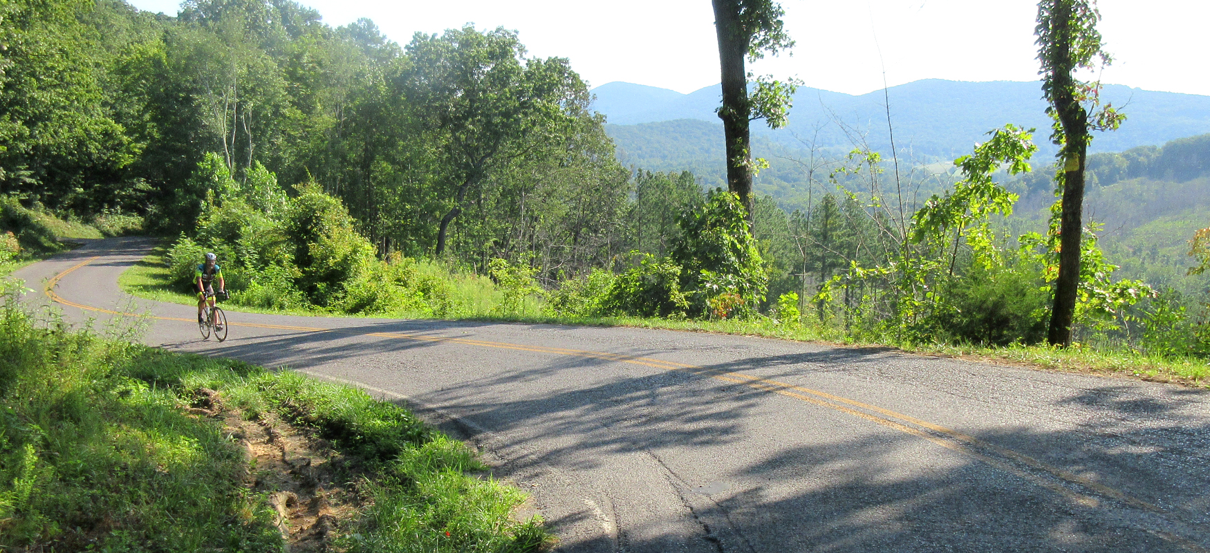
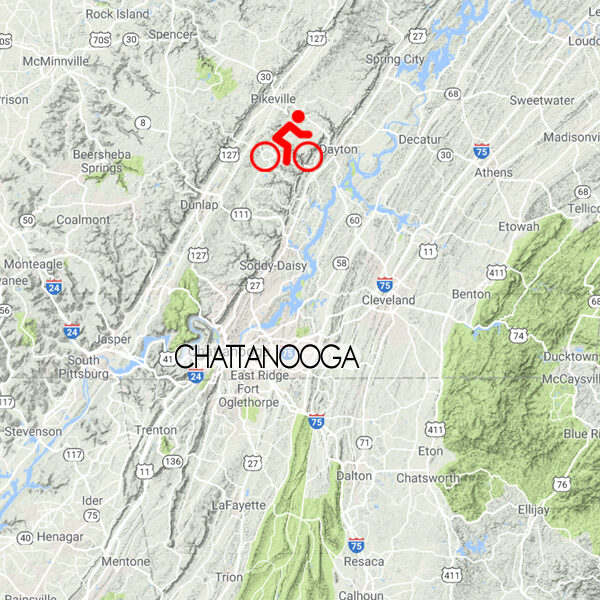
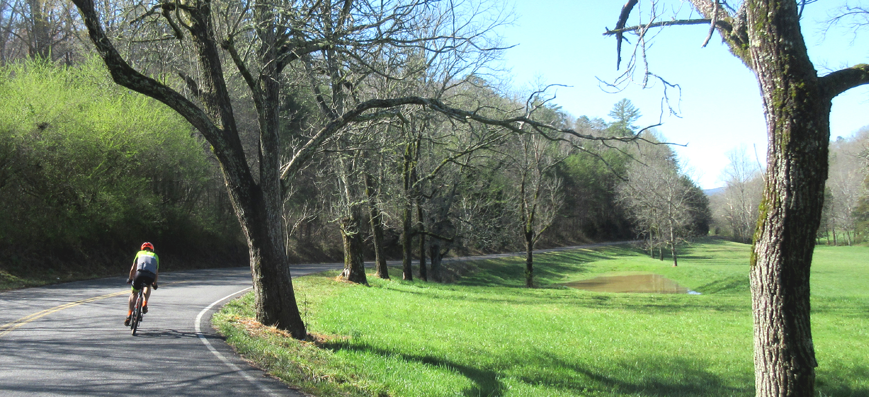
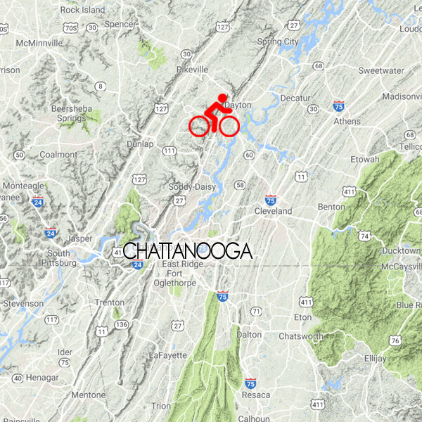
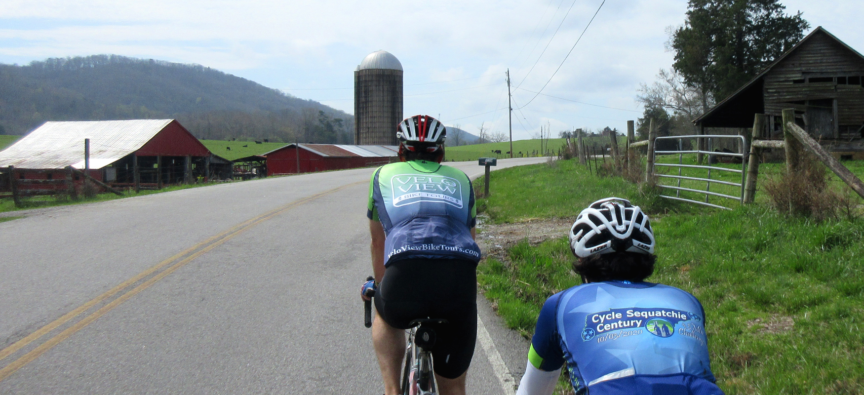
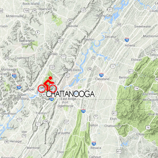
From the streets of Chattanooga to the nearby country backroads, the Tennessee River basin offers a wide variety of topography and scenery, as well as numerous options of where to start and finish. Launch straight out of downtown Chattanooga or opt for a small town adventure north of the city. Either way you'll find beautiful cycling in the heart of the Chattanooga tri-state region!
Points of Interest
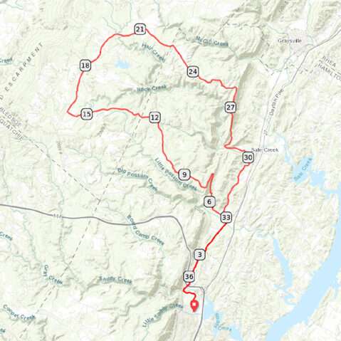
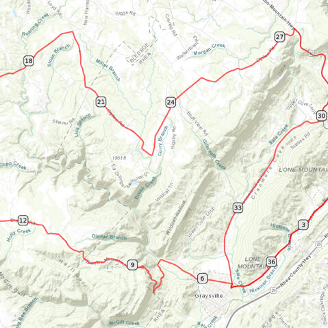
Each of the Scenic Bikeway routes below have been carefully mapped to maximize your time on the bike, giving you the best scenery, the most enjoyable roads, and the most interesting landmarks. To that end, each map highlights "points of interest" along the way - restaurants, rest stops, historic landmarks, etc.
Route Modifications
We've also noted how each route can be modified to make them shorter or longer. While the routes have recommended loops and turnaround points, there are plenty of ways to customize each route to whatever works best for you
Riverwalk
32 miles / 700 feet of climbing
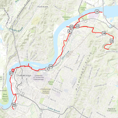
Chattanooga's Riverwalk is a car-free rec path that offers a pleasant and surprisingly diverse ride from the heart of town!
START/FINISH: Chattanooga, TN
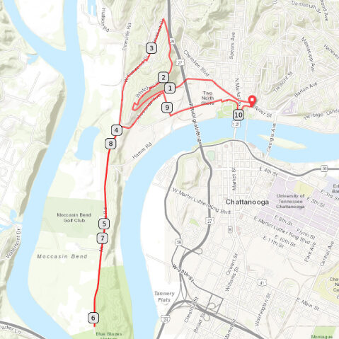
Moccasin Bend
10 miles / 400 feet of climbing
One of the most popular routes with local cyclists, this in-town loop combines a manageable climb with one of the few flat roads in the Chattanooga region.
START/FINISH: Chattanooga, TN
North Shore Hills
21 miles / 2100 feet of climbing
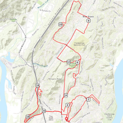
Test your legs and take in some great views of the city on this efficient in-town workout surveying North Chattanooga's hardest hills.
START/FINISH: Chattanooga, TN
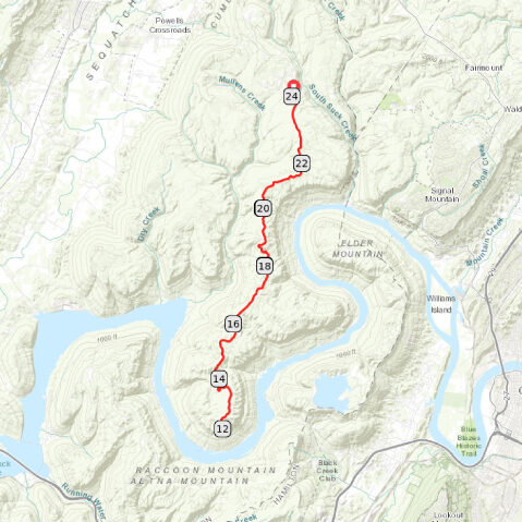
Raccoon Mountain
19 miles / 2000 feet of climbing
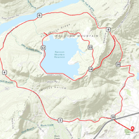
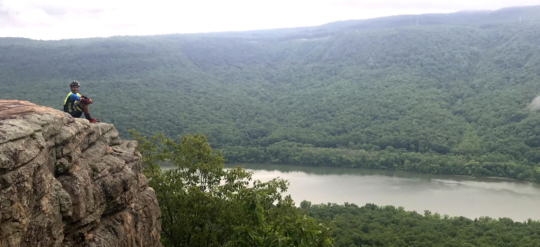
Experience the Tennessee River Gorge from the water's edge and from a mountain-top vista on this unique ride that includes a lap around a mountain-top lake!
START/FINISH: Chattanooga, TN
Signal Mountain 1
19 miles / 1200 feet of climbing
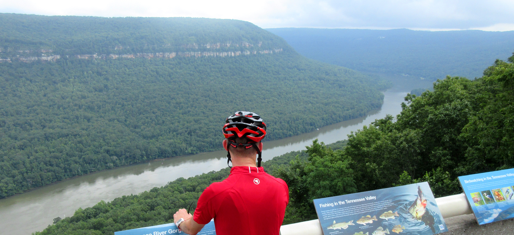
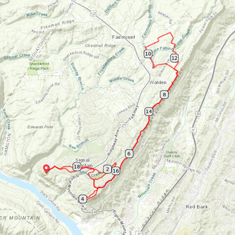
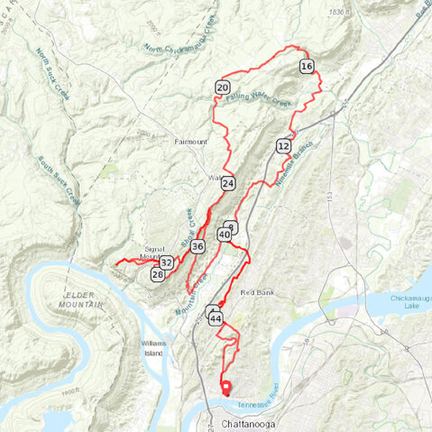
See both sides of Signal Mountain, starting with a stunning view of the Tennessee River Gorge and featuring a rolling ride along the edge of the eastern escarpment with panoramic views of Chattanooga and beyond!
START/FINISH: Chattanooga, TN
Signal Mountain 2
48 miles / 4200 feet of climbing
This challenging ride has it all - arguably the hardest climb in the Chattanooga region, a fun fast descent, sections of quiet neighborhood roads, and incredible views!
START/FINISH: Chattanooga, TN
Soddy Daisy (Mowbray)
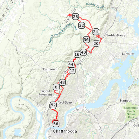
56 miles / 4000 feet of climbing
One of two Soddy Daisy routes that offer a great climb, fun descent, and the best way to ride north out of Chattanooga.
START/FINISH: Chattanooga, TN or Soddy Daisy, TN
Soddy Daisy (Hotwater)
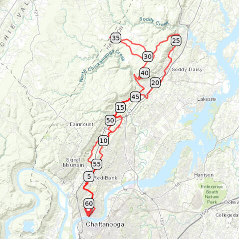
61 miles / 4200 feet of climbing
One of two Soddy Daisy routes that offer a great climb, fun descent, and the best way to ride north out of Chattanooga.
START/FINISH: Chattanooga, TN or Soddy Daisy, TN
Retro Hughes-Leggett Loop
38 miles / 2500 feet of climbing
This route has all the ingredients for a great ride, with a pleasant warm-up, a long sustained climb, a fun descent, and a relaxing cool-down. It's a solid workout on some beautiful roads!
START/FINISH: Soddy Daisy, TN
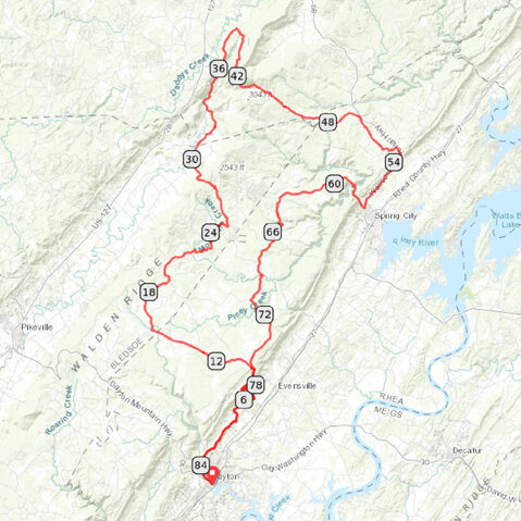
Brayton Mountain Loop
40 miles / 2500 feet of climbing
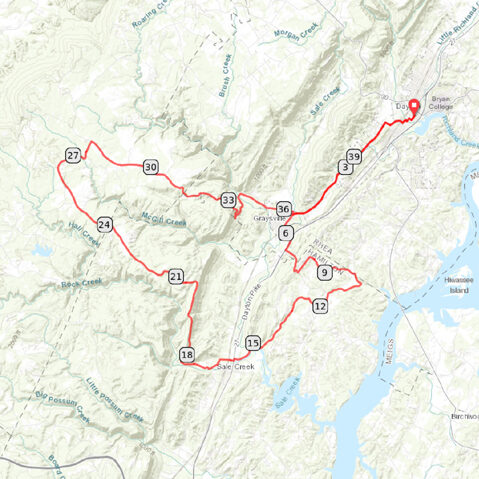
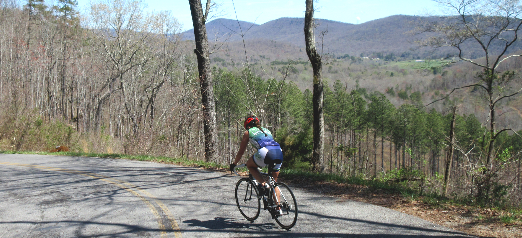
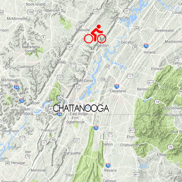
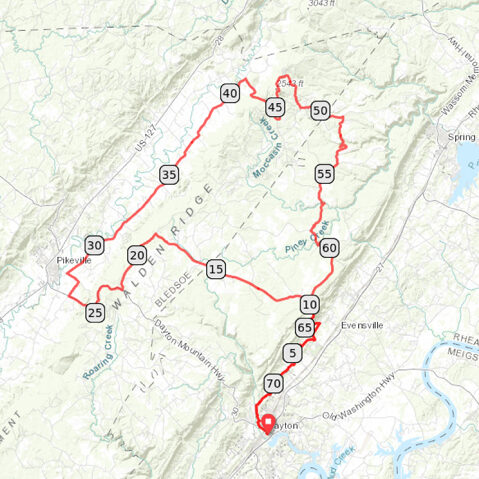
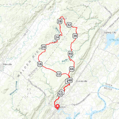
The signature ride out of downtown Dayton, this route combines a beautiful 3.5 mile wooded climb with wide open rolling farmland. BONUS: It ends at a brewery!
START/FINISH: Dayton, TN
Leggett-Brayton Loop
42 miles / 3000 feet of climbing
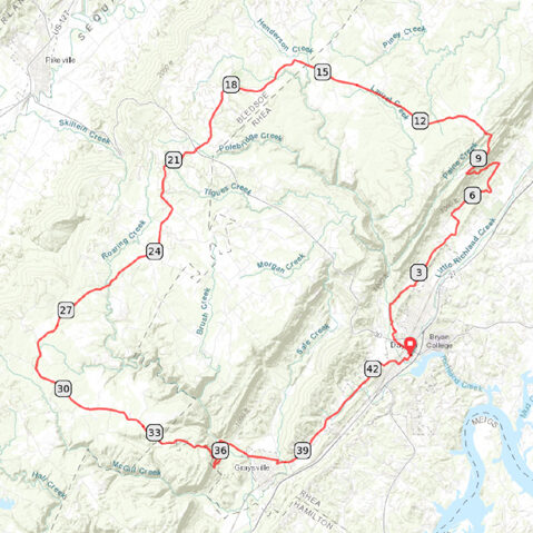
A climbing challenge that offers both steep grades and long climbs (along with fun descents), this ride will give you a good mix of woodlands and farmland along with a few big vistas!
START/FINISH: Dayton, TN
Evensville-Brayton Loop
43 miles / 3000 feet of climbing
Take on a massive climb up Walden Ridge, ride across the farmland at the top, and then bomb back down to Dayton to celebrate at Monkey Town Brewing Company!
START/FINISH: Dayton, TN
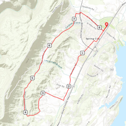
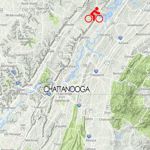
Spring City Loop
8 miles / 500 feet of climbing
While short, this route packs a lot into it, with some nice views, fun descents and enough climbing to make it a solid workout - plus an optional monster climb just off the main route!
START/FINISH: Spring City, TN
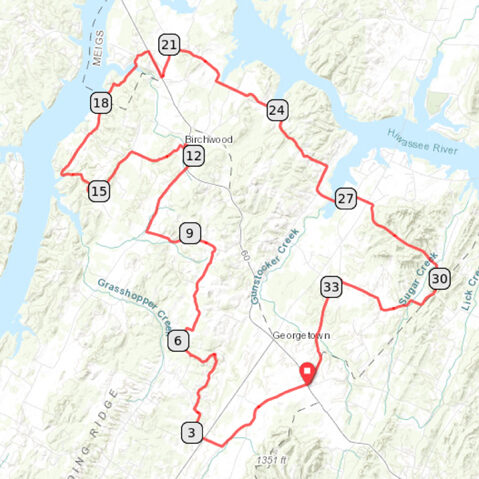
Georgetown-Birchwood Loop
35 miles / 2600 feet of climbing
A fun winding route through a mix of woods & farmland with a few waterfront sections too. No major climbs but plenty of rolling short ones!
START/FINISH: Georgetown, TN
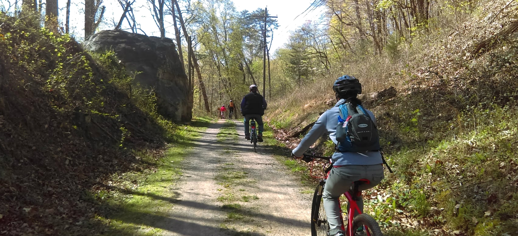
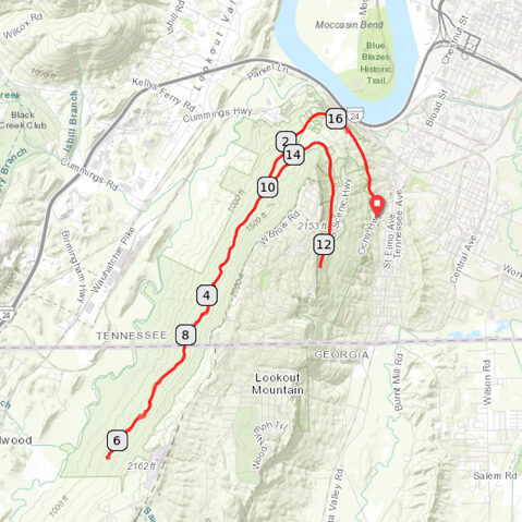
GRAVEL: Guild Trail
17 miles / 1500 feet of climbing
A fun gravel ride just south of town on Lookout Mountain that offers scenic overlooks, beautiful wooded scenery, Civil War history, and relatively easy grades as it follows a historic railroad bed.
START/FINISH: Chattanooga, TN
GRAVEL: Prentice Cooper
25 miles / 2000 feet of climbing
A challenging gravel grinder close to town with a great mix of scenery & topography and a couple of breathtaking views along the way!
START/FINISH: Chattanooga, TN
MIXED-SURFACE: Monkey Town Masher
73 miles / 6800 feet of climbing
Mixed-surface madness! This ride takes you on a challenging journey across a wide range of landscapes (flats, rollers, stingers, climbs, descents) on roads of all kinds (asphalt, chipseal, gravel, dirt, rock) through a crazy mix of settings (woods, farmland, civilization, banjo-land). It's like a dozen different bike rides rolled into one all-encompassing awesome experience!
START/FINISH: Dayton, TN
MIXED-SURFACE: Monkey Town Lite
56 miles / 5200 feet of climbing
A slightly less challenging version of the Monkey Town Masher that skips the descent into Sequatchie Valley and the climb back up Lowes Gap.
START/FINISH: Dayton, TN
MIXED-SURFACE: Monkey Town Double Stout
85 miles / 8100 feet of climbing
A more challenging version of the Monkey Town Masher that adds three new climbs: Old Hwy 28, Hinton Road, and Shut In Gap.
START/FINISH: Dayton, TN
Reflection Riding Arboretum & Nature Center
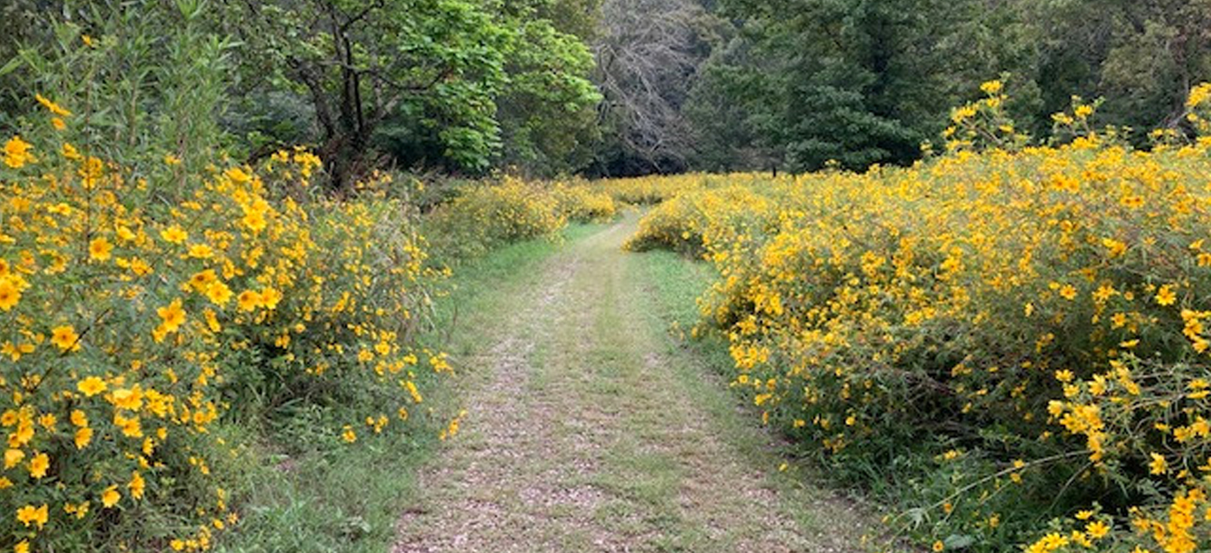
Reflection Riding offers relatively easy gravel riding in a beautiful setting at the base of Lookout Mountain. The main gravel loop is around 3.5 miles, with another 10 miles of bikeable forest trails (more suited to mountain bikes).
MORE INFO: Reflection Riding Arboretum & Nature Center
Rules of the Road
- Always wear a helmet.
- Avoid using earbuds while riding, as awareness of your surroundings at all times is crucial to your safety as well as the safety of those around you.
- Keep an eye out for vehicles while riding and be considerate to vehicles trying to pass.
- Obey all traffic laws, which means stopping at all stop signs and traffic lights.
- Ride no more than two abreast.
- Ride on the shoulder or in a bike lane whenever possible.
- If you need to stop while riding, please get completely off the road.
- When crossing train tracks, try to have your wheels perpendicular to the tracks and don't turn your handlebar when riding across. Hold your line until you're on the other side. Never ride parallel with the tracks when crossing, as bike tires are easily caught in the gaps next to the rails.
- Control your speed on fast descents by feathering your brakes, and always brake before entering sharp turns (as opposed to a sudden hard squeeze in the middle of a turn).
- Communicate with other cyclists when riding as a group. When turning, signal with your hand and tell everyone which direction you're turning. Announce when you're slowing down or coming to a stop. Call out hazards in the road.
- Be predictable. Ride in a straight line without zig-zagging, and ride at a consistent speed without sudden accelerations or decreases in speed.
