14 Miles / 600 Feet of Climbing
Learn about one of the most significant battles in the Civil War while enjoying some of the most peaceful cycling roads in the region!
Potential Route Modifications: This route can be shortened in a variety of ways by cutting across the middle of the battlefield (using Brotherton and Dyer) rather than going all the way south to Viniard Road. If you need more miles, consider doing a second lap around the battlefield staying on Alexander Bridge Road all the way to Viniard Road, and using Vittetoe (rather than Glenn-Kelly) to ride back north.
With some of the flattest roads near Chattanooga (there is only one hill - which is optional!) and a beautiful historic setting, the Chickamuaga Battlefield is one of the most popular places to ride in the region. The loop around the battlefield is relatively short, but it's worth riding more than once, with several variations to explore.
We've designed the route to maximize your mileage while also allowing you to see the most significant sites in the battlefield. In fact, the route mirrors the Park's self-guided tour to a great extent, so if you want to turn your bike ride into a proper tour, pick up a brochure at the Chickamauga Battlefield Visitors Center and use it during your ride. (There's also an audio guide at each of the stops noted on the brochure.)
While we highly recommend stopping at the visitors center to learn about the significance of the battle (it also has clean restrooms), we like to start the ride just up the street in the parking lot of Battlefield Outdoors and Park Place Restaurant. Making that your start/finish gives you direct access to any bike adjustments or supplies you might need, and it sets you up to enjoy a great meal when you finish your ride!
The other advantage of starting outside the battlefield is that you can also incorporate a quick lap around Barnhardt Circle, which is just north of the battlefield. This historic district is the original site of the army post commissioned as Fort Oglethorpe in 1905. The post was home to the 6th Cavalry until 1942 and remained an active army base until 1948 when the army left and Fort Oglethorpe became a civilian town. The ride around Barnhardt Circle is a slight detour (less than a mile) but well worth it to see the historic buildings and parade grounds where General Patton once played polo! (If you're from out of town, consider staying at the Battleview Bed & Breakfast which is located on the north end of Barnhardt Circle. This carefully restored historic building offers first-class accommodations with direct access to some fantastic cycling!)
Starting from the Battlefield Outdoors parking lot, ride out behind the store onto Martin Road and turn right. Follow this residential street down to Harker Road and turn right again. This will take you to a traffic light at Lafayette Road. Continue straight on Harker across Lafayette and you'll come to a stop sign at the intersection with Barnhardt Circle. Take a right here and ride the circle around the parade grounds (about three quarters of a mile) before returning to Harker Drive, where you'll turn right and follow it back to Lafayette Road. Take note of the 6th Cavalry Museum on your left just before you reach Harker. It's a nondescript building, but it holds countless treasures, including a tank from World War II, and we highly recommend making a return trip when you have time to thoroughly explore the museum.
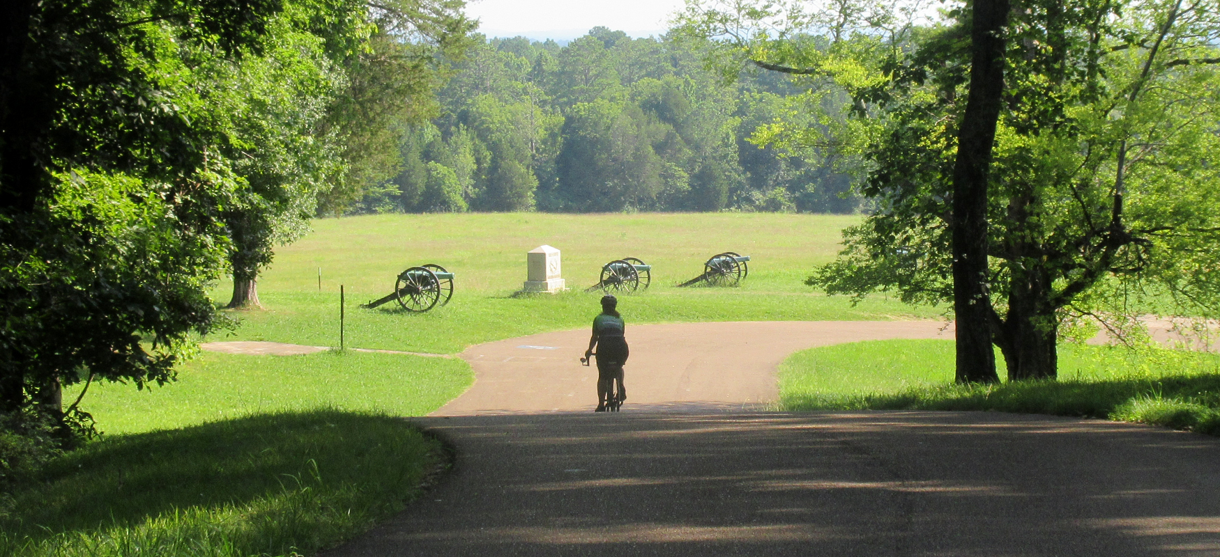
When you reach the traffic light at Lafayette Road, turn right and then continue straight through the light at Reed's Bridge Road to enter the Chickamauga Battlefield. After you cross Reed's Bridge Road, you'll see the visitors center immediately on your right. After a quick stop at the visitors center, continue on Lafayette Road and take your first left onto Alexander Bridge Road. Shortly after making this turn, take a right onto Battleline Road which will take you past a number of monuments and cannons as it winds its way back down to Lafayette Road. Go straight across Lafayette Road and you'll be on Poe Road, which is also lined with monuments and cannons.
Poe Road is short and brings you back to Lafayette Road before too long. Lafayette is the main road through the park and typically has traffic on it. So use caution as you turn right onto it. Fortunately, you'll only be on it for a quarter mile before turning left onto Brotherton Road, which will be considerably more peaceful with plenty of tree cover and fewer cars.
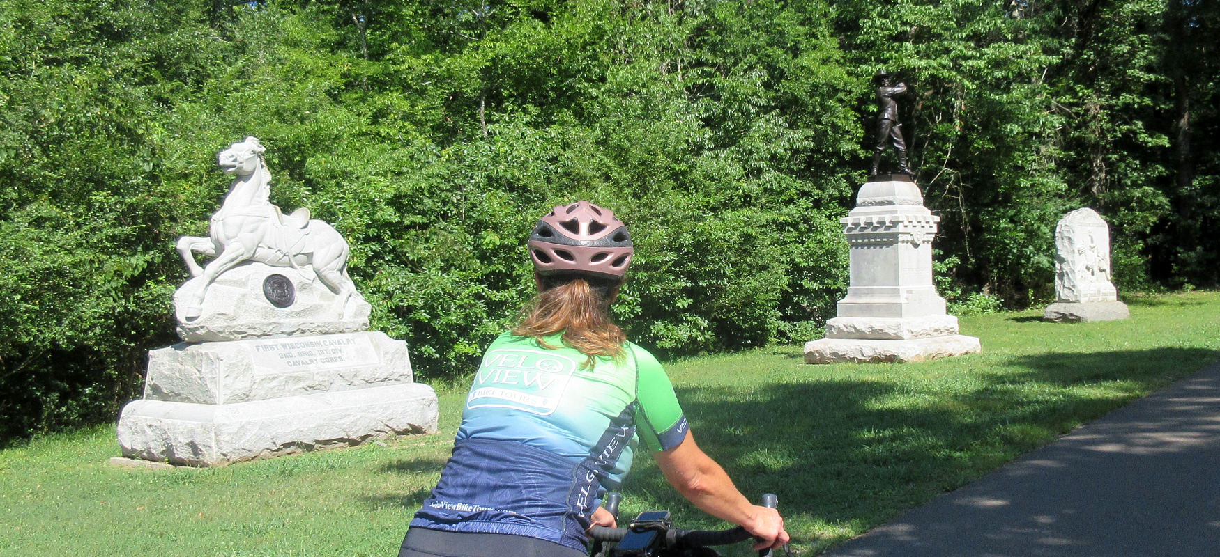
Go straight through the intersection with Alexander Bridge Road after a mile, and continue on Brotherton for another mile until it comes to a "T" intersection with Jay's Mill Road. Turn right onto Jay's MIll and follow it another mile back down to Alexander Bridge Road. While this section doesn't have as many monuments as the first part of the ride, it is a beautiful stretch of road that winds through the woods.
After turning left onto Alexander Bridge Road, you'll take your first right shortly thereafter onto Viniard Road. After two miles on this pleasant tree-lined lane, you'll come to a "T" intersection with Lafayette Road. As before, use caution as you turn onto this potentially busy road. Take a left onto Lafayette and then your first right onto a one-lane road called Glenn-Viniard Road.
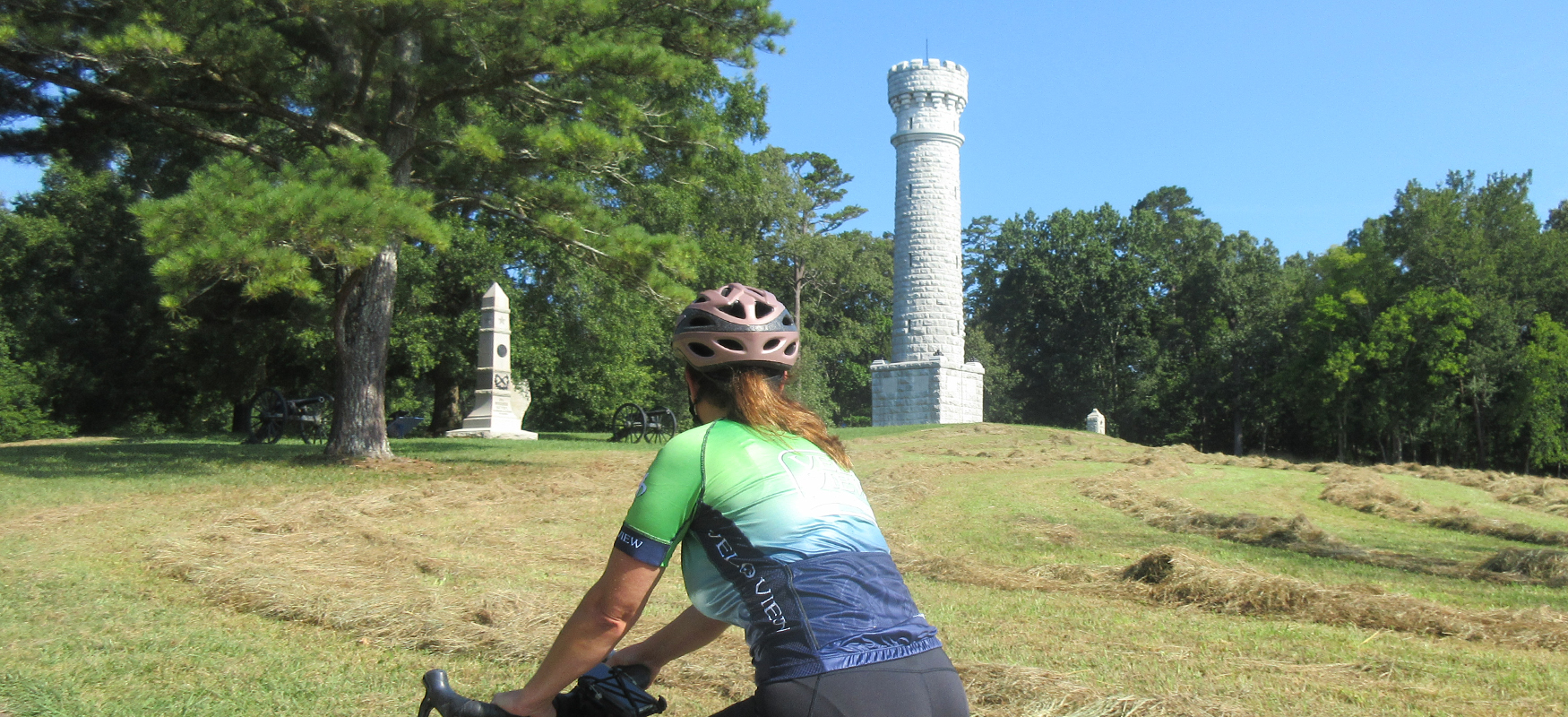
A little over a mile and a half later, the road will change names to Chickamauga-Vittetoe and become two-way again. Continue straight and you'll soon see the most iconic monument on the battlefield - the Wilder Tower. It's definitely worth a photo stop!
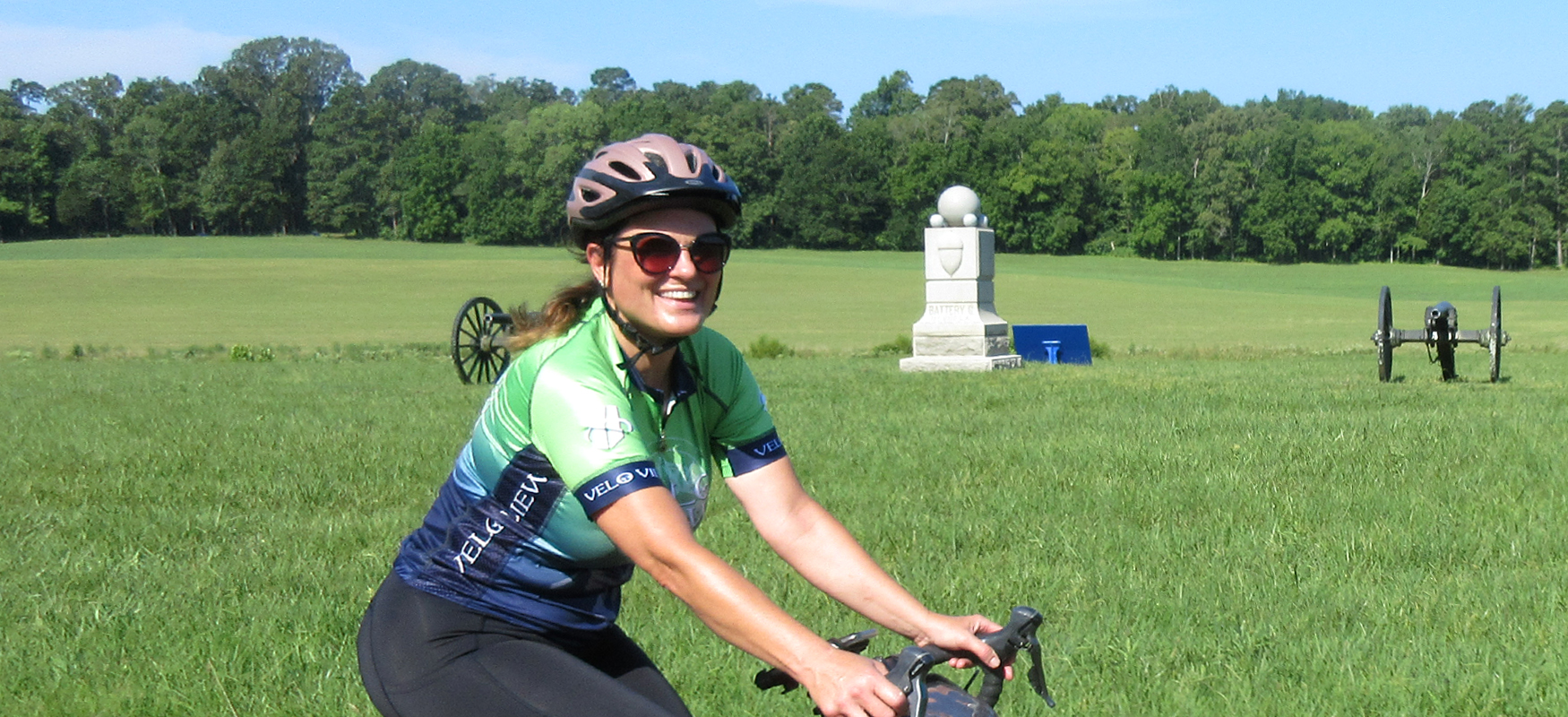
After passing the Wilder Tower, veer right onto Glenn-Kelly Road and follow it for the next mile and half, continuing straight through its intersection with Dyer Road. This stretch of road is a little different than the long wooded sections you've been riding, as it runs alongside some open fields. (You'll see the South Carolina monument in the distance in one of the fields.)
At mile 10.4 turn left onto Vittetoe Road and then veer right up the only hill on this route. Snodgrass Hill is a short climb but it will definitely get the heart rate up! Because the hill is an out & back detour off the main route, it can easily be skipped if you want to keep the ride as flat as possible. We think it's worth the climb, as the hill has a nice view overlooking the field where the Union forces held off multiple Confederate charges before finally retreating to Chattanooga.
After reaching the top of the hill, retrace your steps back to Glenn-Kelly Road and follow it north another half mile until you reach Lafayette Road. Turn left onto Lafayette Road and follow it straight past the traffic light at Reed's Bridge Road before turning right at the next traffic light, which is Harker Road. Take you first left onto Martin Street which will take you back to the parking lot of Battlefield Outdoors and Park Place Restaurant where you can refuel after the ride!
Battlefield Outdoors offers private tours of the battlefield as well as weekly battlefield rides during the warmer months. Check out Battle-Outdoors.com for more info!