28 Miles / 2000 Feet of Climbing
Roll through low-traffic farmland and a pine forest on your way to taking on one of the steepest ridges in the region!
Potential Route Modifications: This route can be made into a relatively easy short loop by turning right onto Hickory Grove Road at mile 8.7 rather than continuing straight and going up and over the Nickajack Gap climb. This shortcut makes the route 17 miles with 900 feet of climbing. If you want to do the big climb but still make the route a little shorter, turn right onto Hooper Road at mile 12 rather continuing straight. That reduces the route by 3 miles and a couple hundred feet of climbing.
There are a couple of places to start this route. We've mapped it from the Flowers Baking Company outlet store. In addition to having breads and baked goods, they also have cold drinks, which makes for a nice treat after the ride. Unfortunately, they do not have a restroom. If you need a bathroom break before the ride, consider starting across the street at the Circle K convenience store and gas station. It adds a short distance more on Hwy 41 but it's still manageable.
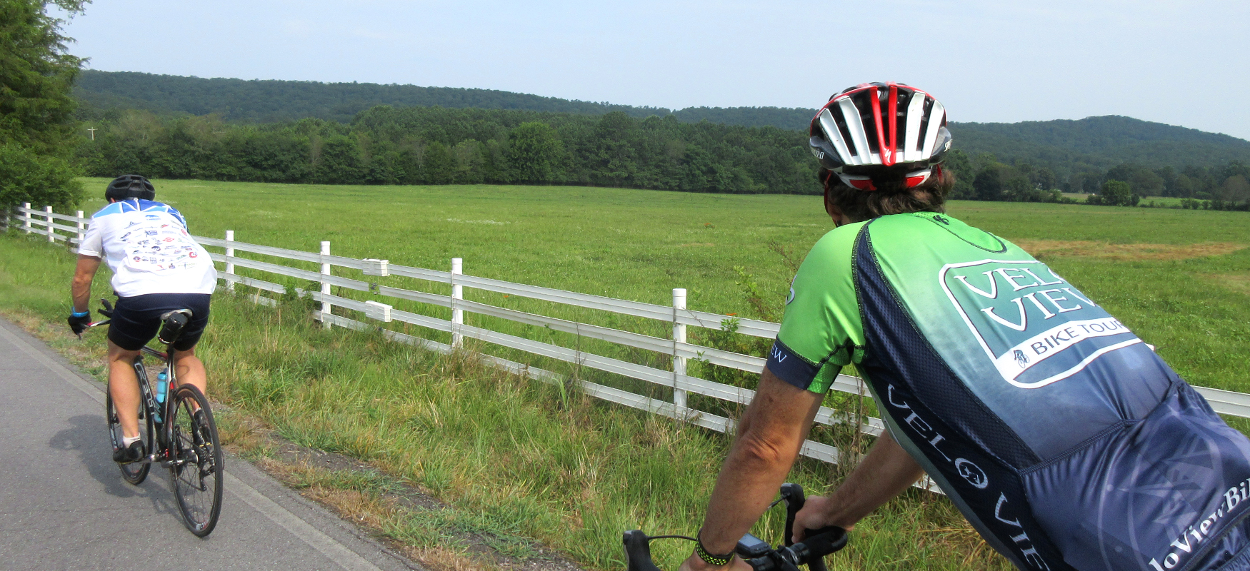
Either way, you'll start off by carefully rolling onto Hwy 41 and taking your first right (which has a turn lane) onto Bandy Road. You may experience a few cars on the first part of the road, but it won't be long before it will thin out and you'll be able to peacefully enjoy the wide open farmland views on your left.
After a mile, you'll come to a train track crossing. The tracks are at an angle, so use caution as you go over them and try to cross them at a perpendicular angle. Other than these tracks, the road is nice and smooth with some easy rollers and pleasant rural scenery.
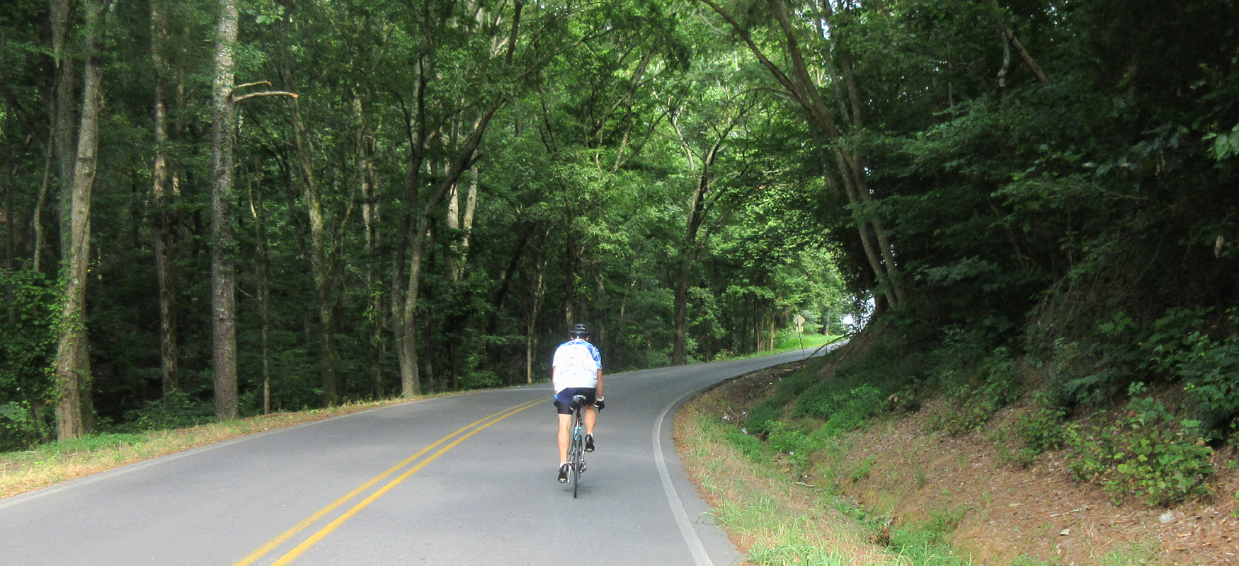
Just before you reach mile 7, you'll come to a four-way intersection with Houston Valley Road where you'll turn right. There's no stop sign here, so you'll need to pay attention not to miss it. Once on Houston Valley, you'll start heading uphill, gently at first and then a little steeper as you cross over a wooded ridge. While the climb will definitely get your attention, it's only a warm-up for the big one just up the road.
After a fast descent and a short flat stretch through a beautiful cove, you'll start up the next ridge. As with the last climb, it starts off at a manageable grade and then tilts up sharply, with grades well into the double-digits. The climb is close to a mile total, so gear down and take your time. The reward for this hard effort is an expansive view of the farmland to the west of the ridge. While the summer leaves tend to block the view a bit, the panorama in the winter is really impressive!
But don't spend too much time staring into the distance, because once you crest the climb it drops down fast and steep. While it's fairly manageable at the beginning, there are some sharp curves that could easily wipe you out if you don't have your speed under control. It's a long fun descent, but it definitely needs to be taken seriously and ridden with caution!
After close to a mile of steep descending, the road straightens out and the grade comes down, allowing you to coast down to the stop sign at Hwy 151 where you'll turn left. Hwy 151 is a potentially busy road with fast moving traffic, so be careful as you turn onto it and stay to the right for the next half-mile before taking your first right onto Temperance Hall Road.
While Temperance Hall runs perfectly straight, it is definitely not flat, presenting you with a series of short hills through wide open farmland before coming to a stop sign after a mile. Proceed straight onto Wood Yates Road at the stop sign and follow it up a short but challenging hill. Unlike Temperance Hall, Wood Yates is fairly wooded and offers some shaded sections.
After a mile and a half, you'll come to a stop sign, where you'll turn left onto Teems Road and continue climbing. Actually, Teems has a series of short climbs that will take a toll on your legs after a while. Teems ends after a mile at an intersection with Temperance Hall Road, where you'll turn left and do one last climb before enjoying a long downhill that will take you back to the intersection of Temperance Hall and Wood Yates.
Instead of heading back the way you came, continue straight onto Hooper Road which will have you once again going uphill. The climb is an easy grade and not too long, and soon you'll be rolling downhill. The descent ends at a stop sign at Nickajack Road. Turn right onto Nickajack and be aware of vehicles, as Nickajack may have a few more cars on it.
After three-quarters of a mile, turn right to stay on Nickajack. This turn is poorly marked and you will be inclined to continue straight, so keep an eye out for it. (If you miss the turn, just turn right on Hwy 151 and you'll be back on the route in less than half a mile.) After turning right just follow Nickajack over to Hwy 151. Turn right onto Hwy 151 and then left onto East Nickajack. This intersection will be familiar to you from earlier in the ride.
After turning onto Nickajack, you will be on a long straight stretch that points directly at a daunting ridge. While this straight section is uphill, it is an easy grade and should be treated as a warm-up for the real climbing ahead, which starts with some painfully steep grades about a half-mile after you turn off of Hwy 151. The key to conquering this climb is to pace yourself, as the climb from this side of the ridge is even longer and harder than the climb from the other side. While you may feel the need to weave up the climb due to the step grade, please be on the lookout for vehicles at all times.
The descent down the other side is not as treacherous as the screaming downhill from earlier in the ride, but you should still use caution coming down, especially since you'll need to turn left onto Hickory Grove Road towards the bottom of the descent and will have to scrub some speed in order to make the turn. It's the first turn you'll come to after cresting the climb. (For future reference, turning right at this point would take you to the Houston Valley OHV Trails which is the largest off-road vehicle area in the state of Georgia.)
Once on Hickory Grove (which turns into Houston Valley Road at some point along the way), you'll be treated to almost six miles of fun, curvy, rolling roads that take you through long sections of undeveloped woodlands. While not a pure descent, the road trends downhill which makes it ideal for cranking out the miles at a fast tempo pace.
After six miles of fun, you'll come to a "T" intersection with Bandy Road. Turn left onto Bandy and follow it the two miles back to Hwy 41 and your starting point. From there it's just a few miles to drive into Ringgold where you can recover with a great meal and cool down your legs with a stroll through their charming downtown!