46 Miles / 2300 Feet of Climbing
The perfect mix of farms, forests and creeks with just the right amount of hills - all on low-traffic roads in a beautiful setting!
Potential Route Modifications: Turning around at the Lovers Lane turn (mile 14) and returning to the start makes the ride an enjoyable 28 miles out & back that includes the fun stretch of road along Johns Creek.
"Downtown" Villanow is not much more than an intersection, so we recommend using the Dollar General as your start/finish. Just be sure to park well away from the front of the store and also make a purchase in exchange for using the parking lot and restrooms. From the Dollar General, turn left onto Hwy 136. While not heavily trafficked, 136 may have some fast-moving vehicles, so use caution and ride single file. This first half-mile is all uphill and is a tough way to start off the ride, especially since you'll be in a hurry to get off of 136.
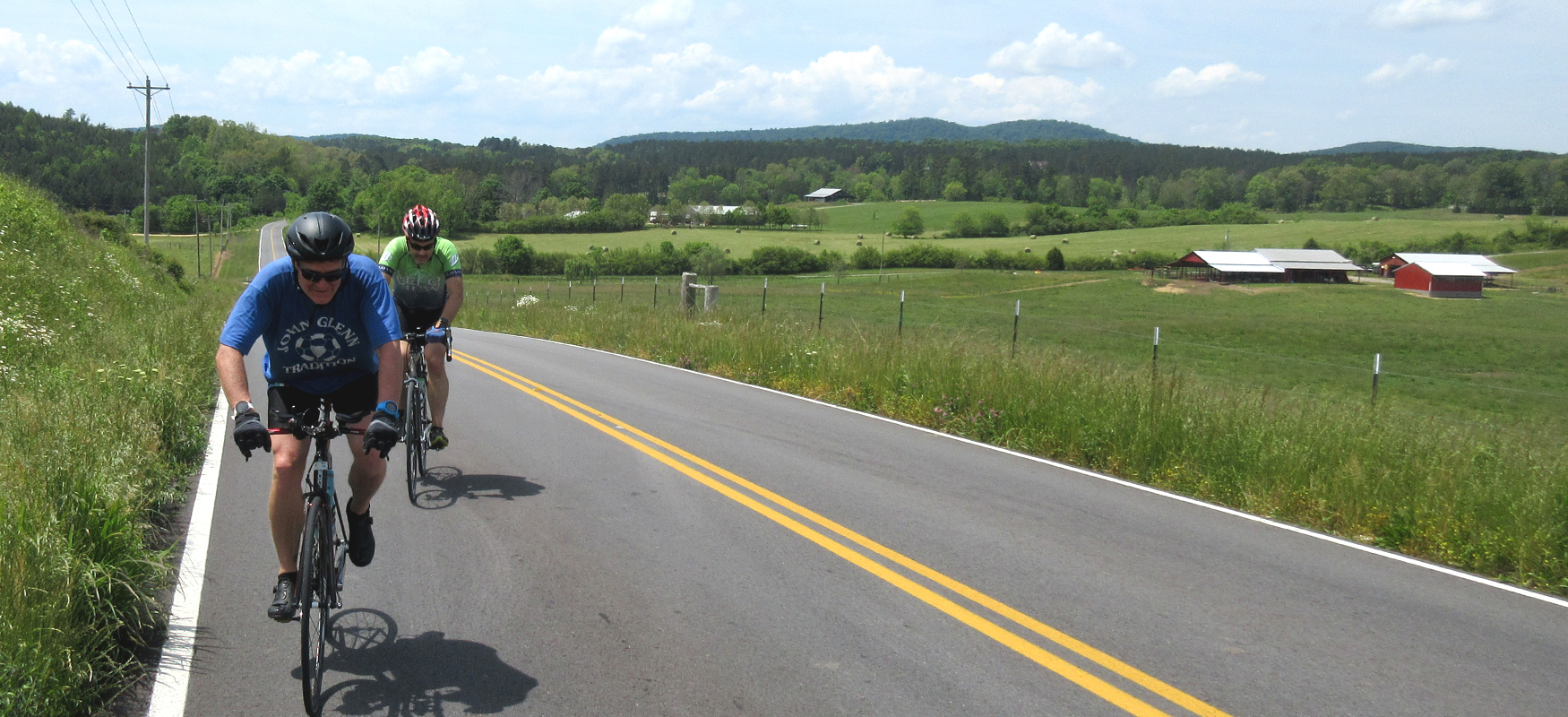
After this initial slog up 136, you'll turn right on Pocket Road and immediately be rewarded with a fun, fast descent on a low-traffic road. While fast at the start, Pocket Road quickly turns into rolling terrain as it takes you through the Johns Mountain Wildlife Management Area. After seven miles of riding primarily through forest scenery, you'll see the Pocket Recreation Area on your left. Named for its location surrounded by the steep ridges of Horn and Mill Mountains, the Pocket is the former site of a Civilian Conservation Corp Camp and is now a great place for picnics and camping.
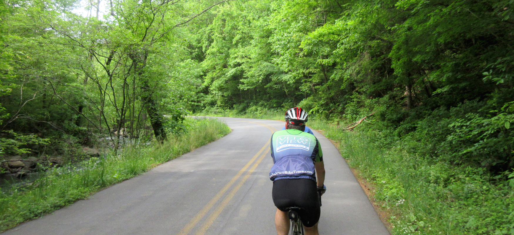
After passing by the Pocket Recreation Area, the road makes a righthand bend and then follows Johns Creek for the next seven miles. This is a fun stretch of road with plenty of curves following the creek downstream.
After this section (around mile 14), you'll turn right on Lovers Lane, and the scenery will transition to farmland scenery. Lovers Lane will change names to Floyd Springs about a mile after turning onto it, but you won't notice as you simply need to continue straight for this seven-mile stretch until you come to a stop sign at the intersection of New Rosedale Road (Hwy 156).
Carefully turn right onto New Rosedale Road and ride single file for the next two and a half miles until you see Mr. C's convenience store on your right, which is where New Rosedale Road ends at U.S. Hwy 27. Arriving at the halfway point in the ride, Mr. C's makes for a great pit stop to refuel and stretch the legs.
After taking a break, head back the way you came on New Rosedale Road and turn left about a quarter-mile later onto Haywood Valley Road. Haywood Valley starts off somewhat residential but quickly transitions into rural scenery, offering a nice mix of farmland and woods. Roughly three miles after turning onto Haywood Valley, you'll do a short but noticeable climb, followed by a fast descent down the other side. Towards the bottom of this descent, the road will bend sharply to the left. That's your cue to look for Dry Creek Road, which will come up on your right shortly after making the lefthand bend.
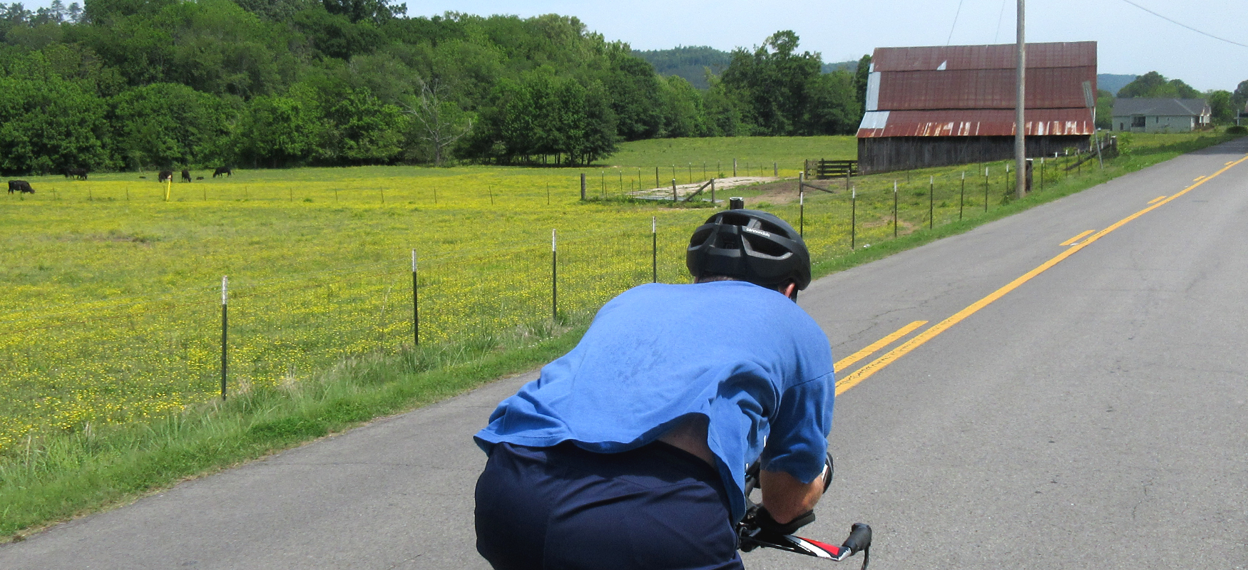
After turning onto Dry Creek Road, you won't have another turn for the next nine miles. While this stretch of road is generally rolling terrain, it trends uphill, and you may notice your legs feeling a little heavy towards the end of Dry Creek Road as you run into more substantial hills. The road provides a great mix of wooded sections and farmland scenery, so take your time and enjoy the low traffic landscape.
After nine miles, Dry Creek Road ends at a "T" intersection with Armuchee Road, where you'll turn right. Like the tail end of Dry Creek, Armuchee has some substantial climbs that will feel longer than they are coming this late in the ride. On the bright side, the climbs offer some sweeping farmland views that make this last stretch of road a real treat.
You'll be on Armuchee for roughly seven and a half miles before it brings you back to Hwy 136. Carefully take a left on Hwy 136 and you'll almost immediately see the Dollar General on your right. Although Villanow doesn't have any restaurants for a post-ride meal, LaFayette is close by and offers plenty to choose from. Just drive west on Hwy 136 and you'll run straight into LaFayette. In fact, one of our favorites, Station House, is at the end of Hwy 136, so you never have to make a turn. Just follow it all the way to a well-earned lunch!