42 Miles / 3000 Feet of Climbing
A climbing challenge that offers both steep grades and long climbs (along with fun descents), this ride will give you a good mix of woodlands and farmland along with a few big vistas!
Potential Route Modifications: This route can be shortened to 38 miles and 2700 feet of climbing by skipping the Black Oaks/Andy Thomas/Aslinger loop. It can also can be ridden starting in Soddy Daisy, taking Back Valley Road until it intersects with Leggett Road and picking up the route from there. Another option is to ride the loop in reverse, climbing Brayton Mountain and descending Leggett.
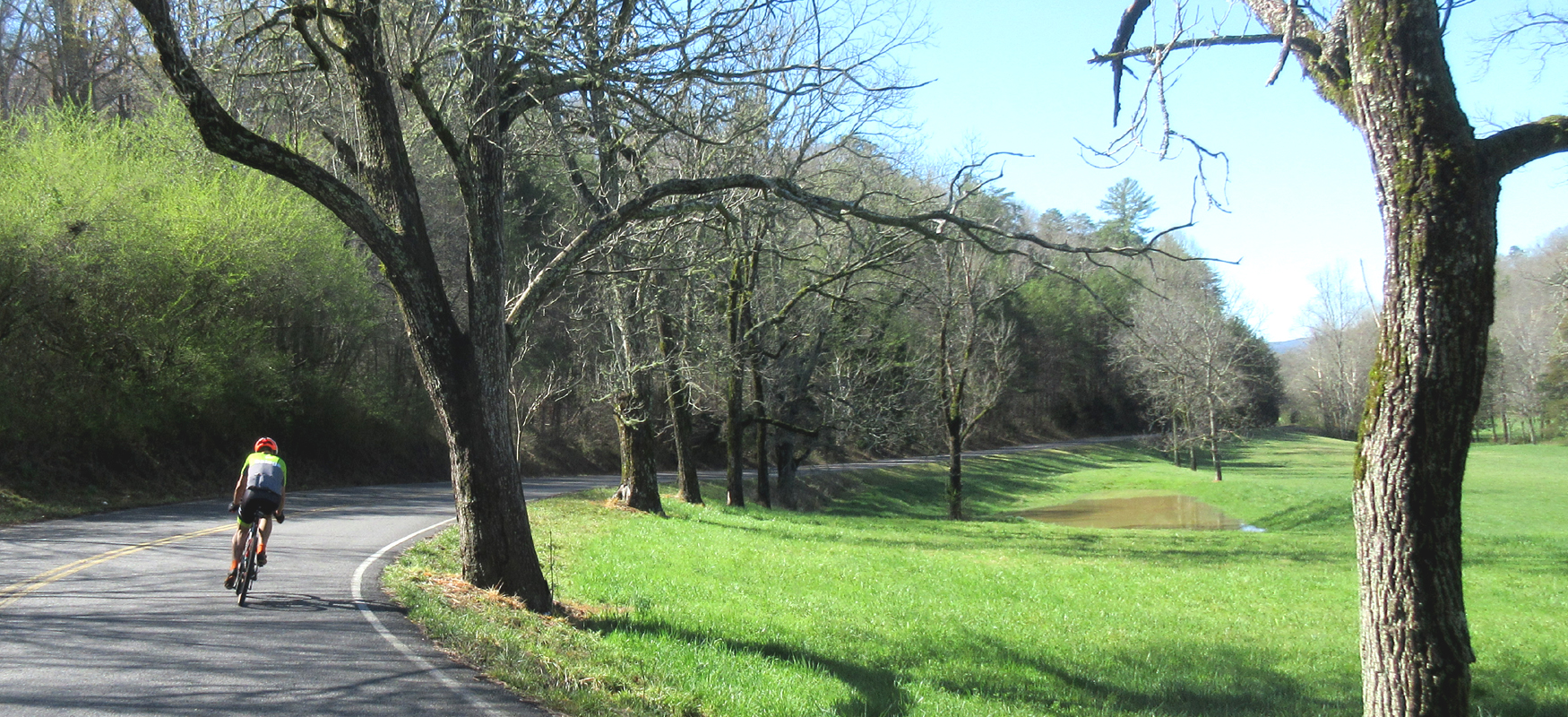
This ride is for the climbers. It has a long sustained climb and several punchy shorter ones, including a half-mile beast with grades reaching 20%! But if you can survive the climbs, there's plenty of reward with fun curvy descents and plenty of farmland rollers mixed in.
As with all of our Dayton rides, we've mapped the route to start & finish at Monkey Town Brewing Company, which offers a wide variety of tasty craft beer along with an excellent lunch & dinner menu.
There's a free parking lot directly across from the brewery, and there's plenty of on-street parking as well. If you're up for checking out the shops on Market Street or the Scopes Trial Museum, you can also park in front of the Rhea County Courthouse, just a block away from the brewery. And of course there are a number of other great restaurants downtown as well!
You'll leave downtown heading west on Market Street. Immediately after crossing the bridge over Richland Creek, turn right onto Hickory Street, followed by another right turn onto California Ave. Use caution on California Avenue as there are a couple of railroad crossings. California Avenue will bring you to an intersection with Delaware Avenue where you'll continue straight on California. This next stretch on California offers some nice views of Lone Mountain off to the right.
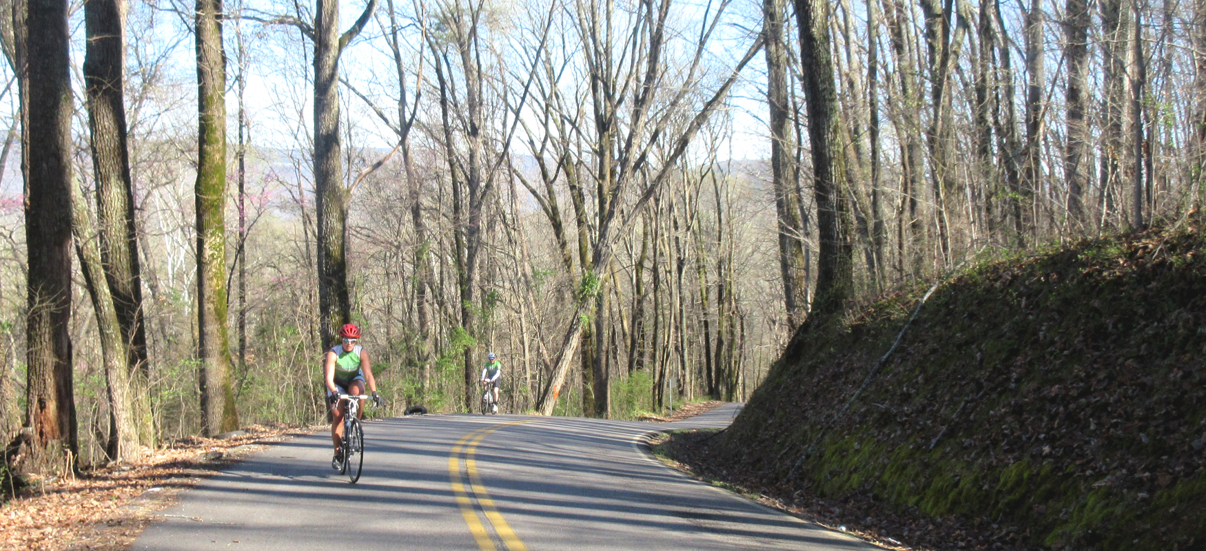
After a quarter mile, California will come to a "T" intersection with Illinois Avenue where you'll turn right and follow it up and around a sharp left curve. The street name will change to Old Graysville Road at this point and will eventually change names again to Dayton Avenue, but it's the same road for the next five miles until it ends at Hwy 27. Consider this rolling road a warm-up for your first climbing challenge!
When you reach Hwy 27, take a right and ride the shoulder for just under half a mile. Look for Providence Road on the other side of the highway and proceed cautiously across the road using the middle turn lane for shelter.
After reaching Providence Road, you'll start heading up, gently at first and then shockingly steep after that. Half a mile doesn't sound like much, but at grades consistently in the upper teens it will feel considerably longer! So take your time and control your breathing to keep from red-lining.
At the top of the climb, you'll be greeted with a nice view looking east to the Southern Blue Ridge Mountains. Keep your speed in check as you start to roll down the other side because your next turn - a left onto Black Oak Road - comes up quickly after cresting the climb.
Black Oak Road will take you down a fun little descent before hitting a steep stinger. There are a couple of little rises before Black Oak descends in earnest, but once it gets going it's a lot of fun, with nice curves and a gentle downhill grade that will allow you to push your speed in the big ring.
About a mile and a half after turning onto Black Oak, you'll come to a stop sign where you'll turn left onto Andy Thomas Road and continue to head downhill for a mile before coming to another stop sign.
You'll turn right at the stop sign onto Aslinger Road and follow it a little less than two and a half miles as it winds around and brings you back to Providence Road. While this little loop is a fun ride, the last quarter-mile before reaching Providence Road tilts up sharply!
At the stop sign with Providence Road, turn right and then take your first left shortly thereafter onto Shipley Hollow Road. This is another fun gentle downhill that allows you to pedal with speed as you follow a little drainageway down to Sale Creek.
Just before reaching Sale Creek, you'll come to a stop sign at the intersection with Daugherty Ferry Road. Turn right onto Daugherty Ferry and continue the downhill across the bridge over Sale Creek (which might be worth a photo stop).
A little over half a mile after crossing the bridge, Daugherty Ferry will bring you back to Hwy 27. Carefully cross over to the other side and turn left onto the shoulder and then immediately turn right onto Detour Road.
Detour Road is a narrow road that will take you through a residential neighborhood before intersecting with Leggett Road about a mile after crossing Hwy 27. At this point you will have noticed that you've been heading slightly uphill since crossing the Sale Creek bridge. This gentle uphill continues as you turn right onto Leggett Road.
For the first half mile of Leggett, the grade remains easy, but after that you will notice a shift in grade as the road tilts up and the real climb begins! Fortunately, the climb has a number of breaks in it. The first stretch is a mile and a half of consistently high grades (8-12%), but then you'll hit the first break. The climbing continues for another two and a half miles after this first break, but it's broken up into manageable chunks with a number of breaks in between, including a section that has has a slight downhill to it! In total the climb is about four miles.
It's actually pretty hard to tell when the climb ends, as the "top" continues the pattern of rolling hills with a general uphill trend all the way until Leggett merges with Hendon Road around mile 26. Not too long after the roads merge, you'll go down a short but fast downhill followed by a minor climb. At the end of this climb, you'll come to a stop sign at the intersection with Brayton Road.
Turn right on Brayton and follow it over a number of small rollers for around three miles. The rollers will end as you pass a chicken coop on the left and start to descend into more wooded terrain. The total descent is around 3.5 miles, with a few breaks in grade early in the descent. The road gets a little rough the farther you go, so keep your speed in check. Also be very careful at the pair of switchbacks you'll encounter about halfway down. This a steep section and you'll need to proceed around the curves slowly in order to stay in your lane.
Towards the bottom of the climb you'll get a nice view off to your right before the road dives back into the woods and then turns sharply to the right. This bend to the right signals the end of the fast part of the descent (and changes the road name from Brayton Mountain to Pikeville Avenue), but you can still get some speed pedaling the easy downhill after the curve. Just be sure not to fly past Long Street on your left at mile 37.3.
After turning left on Long Street, you'll continue downhill for another mile before coming to a stop sign at Cranmore Cove Road/303. Turn right here and then left at the stop sign you'll hit shortly after turning onto Cranmore Cove. This left will put you on Dayton Avenue, which you'll follow back to town for the next four miles.
Dayton Avenue changes names to Old Graysville Road along the way, and at the end of four miles of rollers, it will bend sharply to the right and change names again to Illinois Avenue. After following the righthand bend, take your first left onto California Avenue. There's a nice view of Lone Mountain off to your left on this stretch. Continue on California straight across Delaware Avenue and follow it across the train tracks down to the stop sign at Market Street.
Carefully take a left onto Market Street and then take your first right after crossing Richland Creek, which will be Alabama Avenue. Take your first left off of Alabama onto Church Street, which will run you down to First Street and Monkey Town Brewing Company, where good food and recovery beverages await!